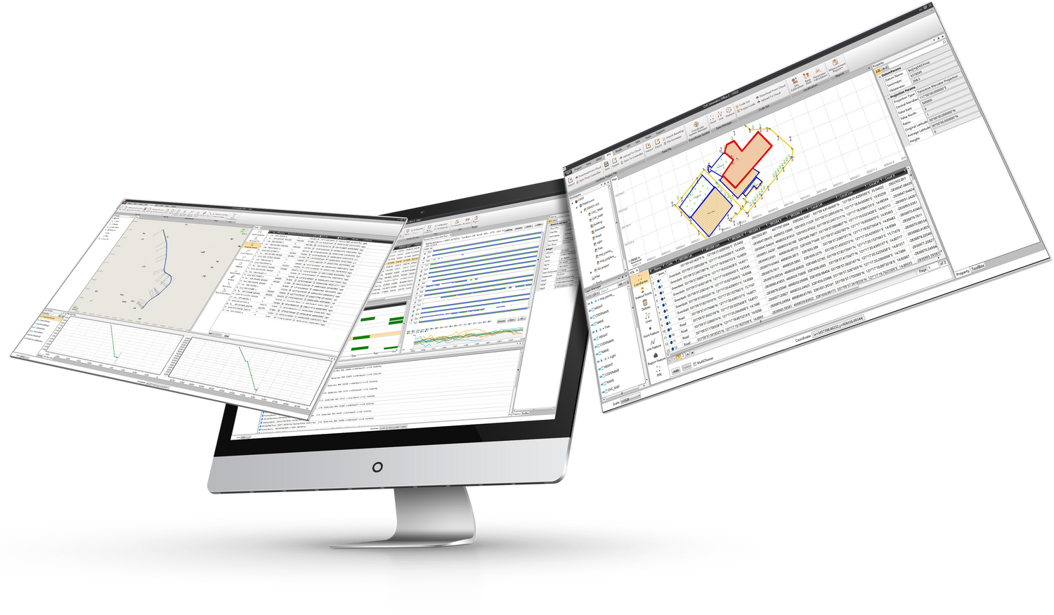
CHCNAV Geomatics Office Software CGO2
CHCNAV Geomatics Office Software CGO2
Product Overview: The CHCNAV CGO2 (CHCNAV Geomatics Office Software) is a powerful and user-friendly office software designed to edit, process, and analyze GNSS raw data for high-accuracy positioning. As a fully integrated platform, CGO2 serves as the essential link between field survey operations and GNSS post-processing requirements. It is ideal for geodetic, surveying, UAV trajectography, ground control points (GCPs), and road construction applications.
Key Features:
Powerful GNSS Data Processing
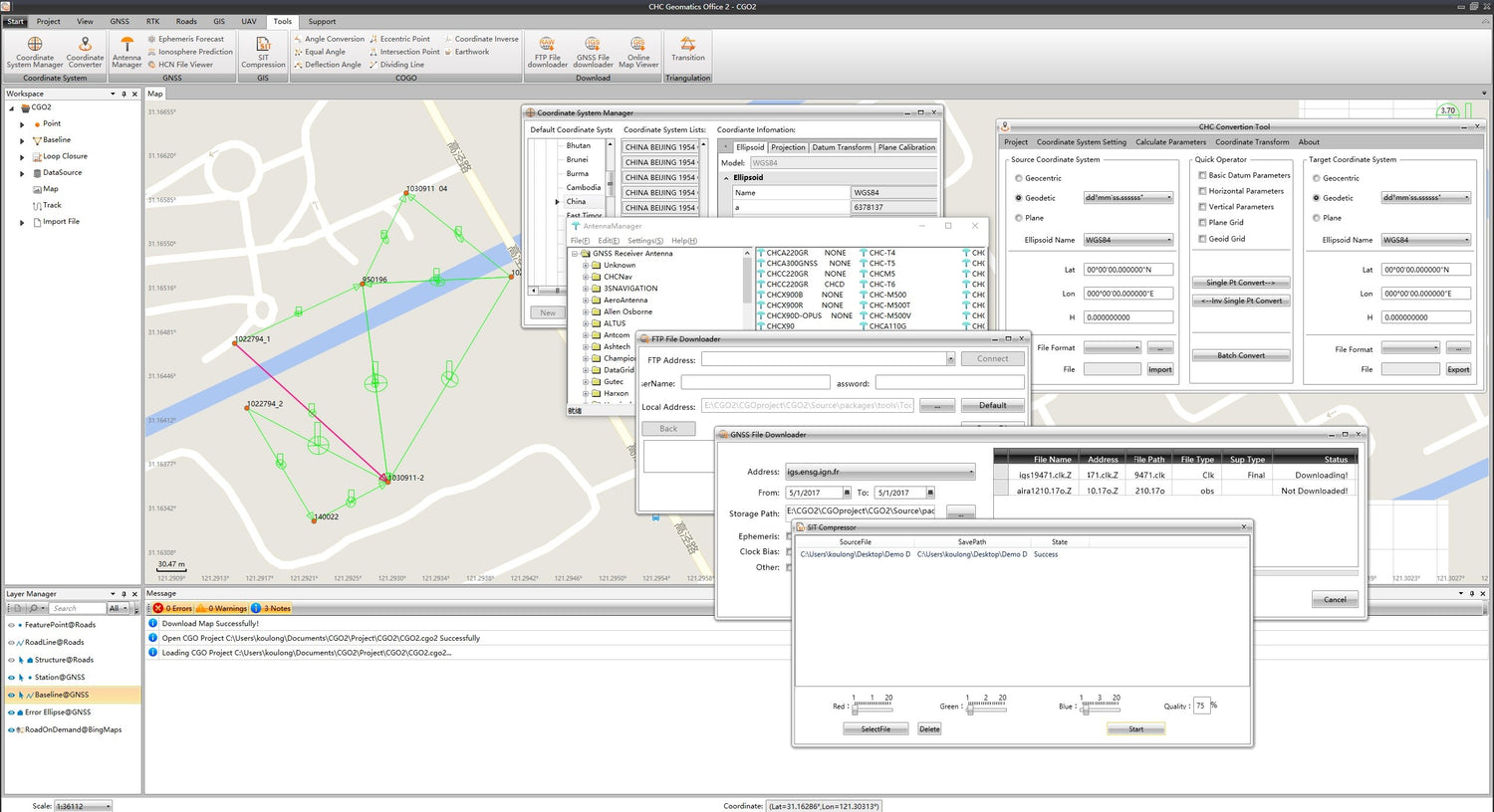
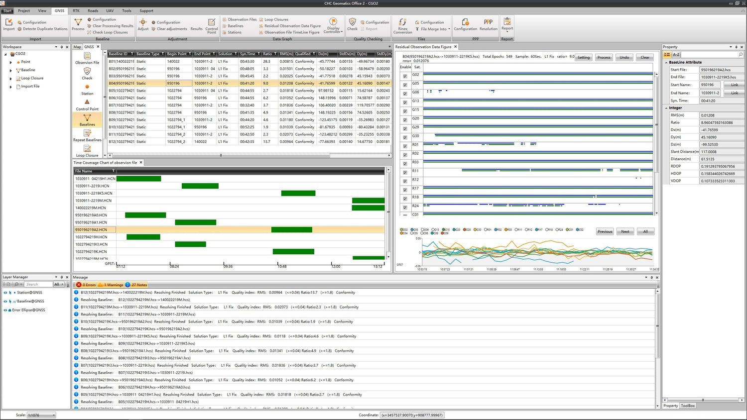
- High Accuracy: Process GPS, GLONASS, BeiDou, Galileo, and QZSS static or dynamic GNSS raw data with ease. CGO2 supports multiple observation file formats (RINEX, CRINEX, HCN, HRC, NOV, BD9, UBX, RTCM, SP3, etc.) and integrates predefined coordinate systems and various manufacturer antenna types.
Comprehensive Geodetic Tools
- More Than Post-Processing: CGO2 offers a wide array of geodetic tools, including coordinates and RINEX converters, TIFF map compressor (SIT), angle, distance and volume calculator, GNSS antenna manager, and GNSS observation files splitter and merger.
Intuitive Workflow
- User-Friendly Interface: The customizable user interface and modules allow CGO2 to adapt to your preferred working habits. The intuitive post-processing workflow ensures that GNSS data processing is straightforward and fully documented in the built-in electronic user manual.
Process Massive Fieldwork Data
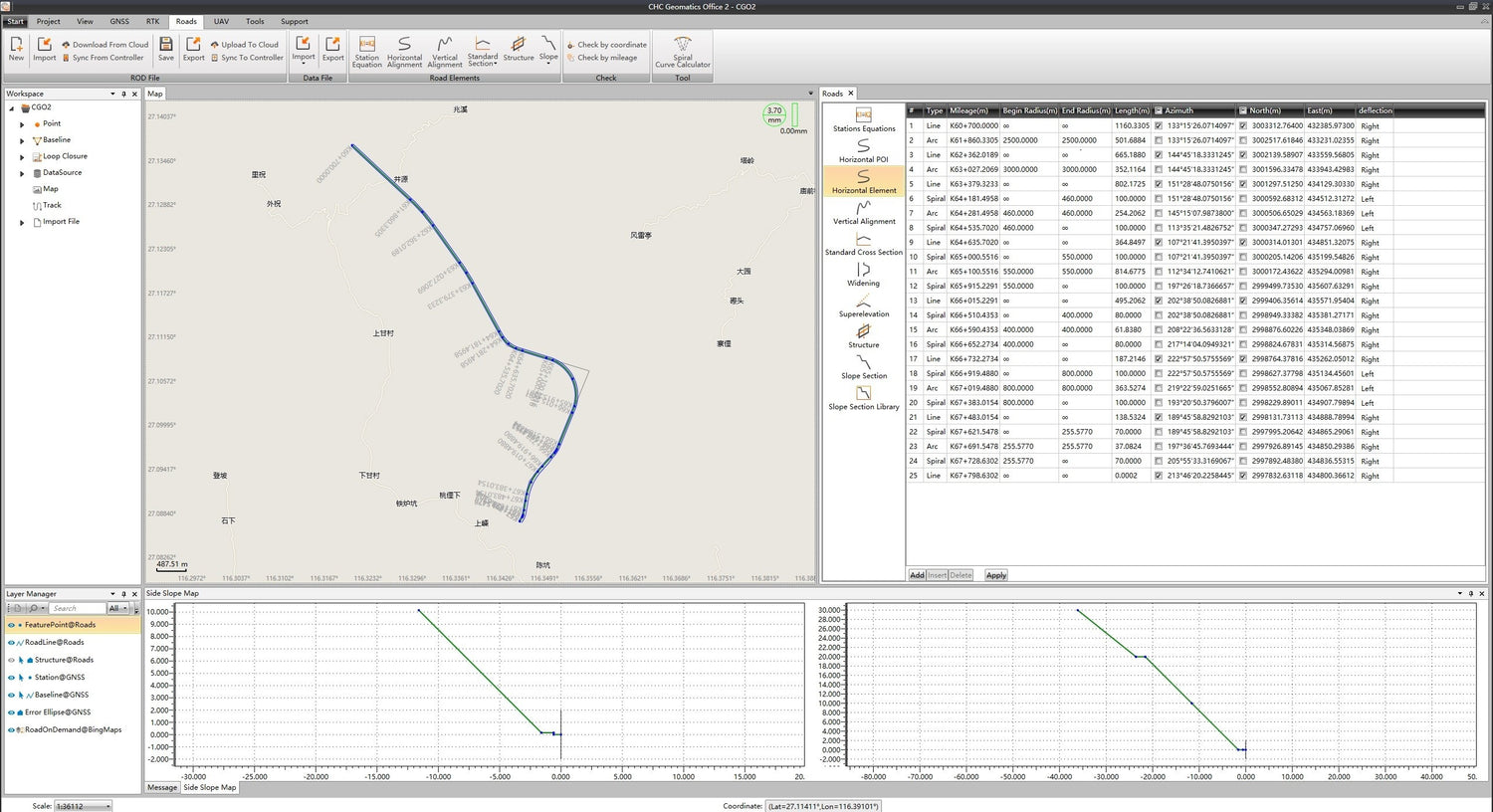
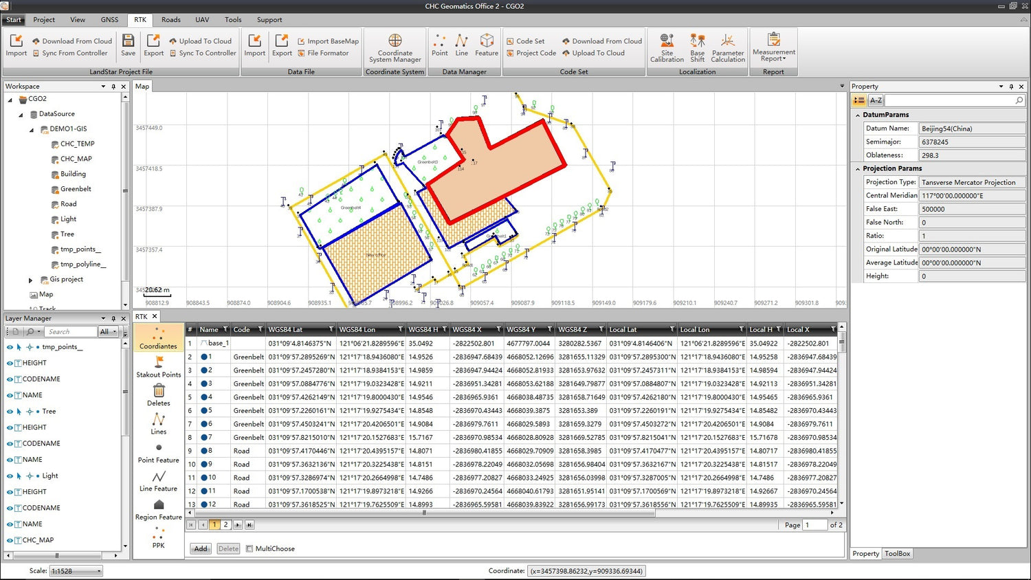
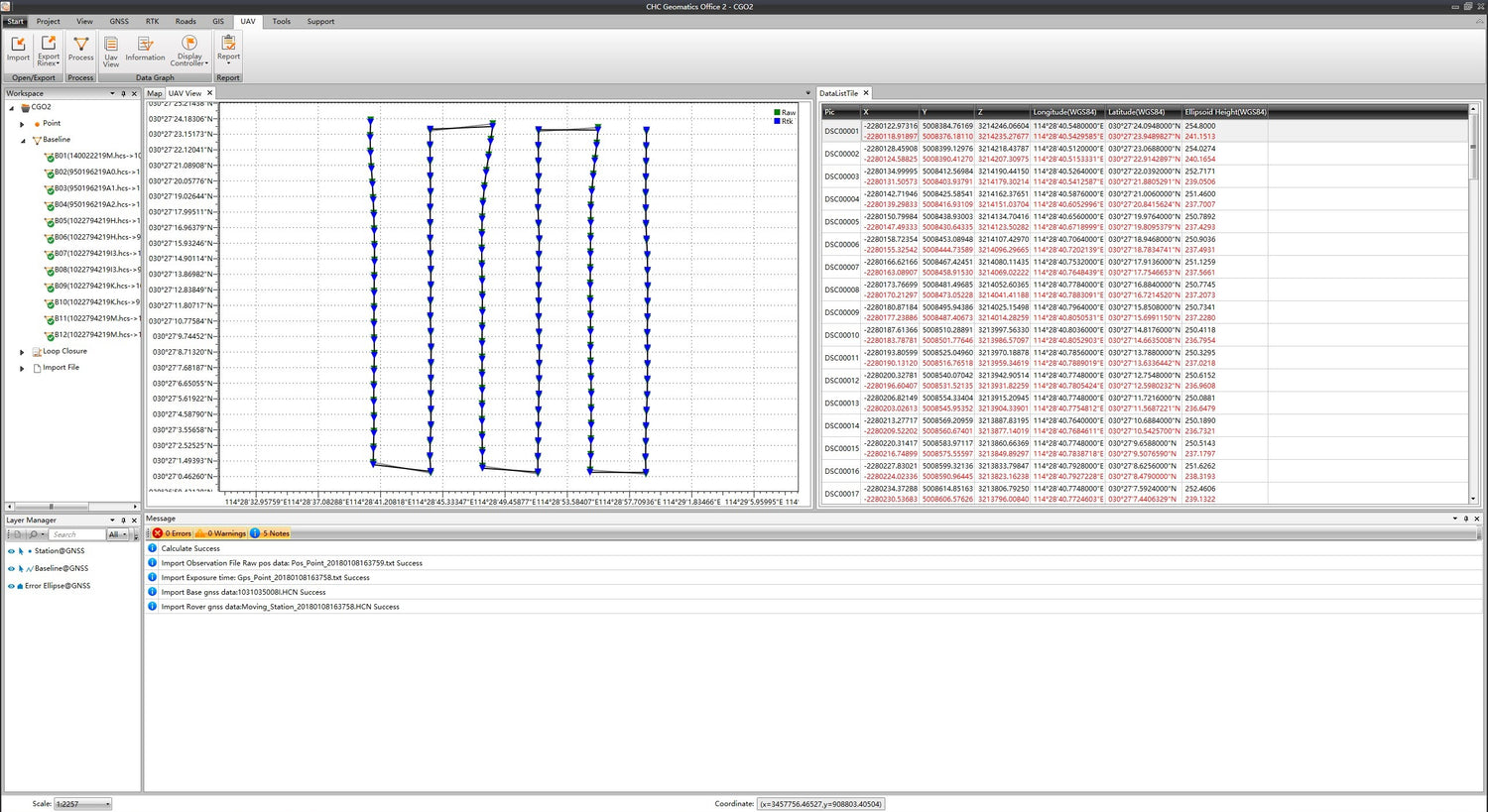
- Advanced Algorithms: CGO2 supports advanced static, fast static, PPK, and PPP algorithms for GNSS data processing. It allows users to edit surveyed features, correct field coordinates, check and input designed road elements for stakeout, and get corrected UAV track coordinates using both RTK and PPK algorithms.
High-Quality Data Output
- Comprehensive Reporting: CGO2 enables GNSS data analysis and report generation in multiple formats (KML, SHP, DXF, HTML, CSV, PDF, RAW, ASC, TXT). It supports the export of corrected UAV track coordinates and integrates GNSS, RTK, road, and UAV modules for versatile applications.
System Features:
- Post-Processing Algorithms: PP, PPK, PPP
- Online Maps: Selectable (OSM, Bing, Google, WMS, WMTS)
- Geodetic Tools: Coordinate system manager, GNSS antenna manager, ephemeris download, data quality check, and more
- Integration: Support for RTK projects, UAV PPK, and USV PPK
- Data Import/Export: Multiple formats supported, including RINEX, CRINEX, KML, SHP, DXF, HTML, CSV, PDF, RAW, ASC, TXT
- Embedded Manual: Comprehensive electronic user manual for easy reference
Available modules:
- RTK
- Post - Processing
- UAV
Why Choose CHCNAV CGO2?
CHCNAV CGO2 offers an unparalleled combination of powerful data processing capabilities, intuitive workflow, and comprehensive geodetic tools, making it the ultimate GNSS post-processing solution for a wide range of applications. From geodetic and surveying to UAV and road construction, CGO2 ensures high accuracy and efficiency in GNSS data processing.
Enhance your GNSS data processing capabilities with CHCNAV CGO2 – the advanced software solution for high-accuracy geodetic positions.
CHCNAV Geomatics Office Software CGO2 is backordered and will ship as soon as it is back in stock.
CHCNAV Geomatics Office 2 features
A powerful office software to edit, process, and analyze GNSS raw data.
