
UHF Radio Links for GNSS RTK: Bandwidth, Modulation and Protocols Explained
A practical surveyor's guide to UHF radio links in GNSS RTK — channel spacing, GMSK vs 4FSK, FEC, TRIMTALK, SATEL, Pacific Crest protocols, and how to get the most range...
Explore the forefront of surveying technology with our blog series. Delve into how SLAM LiDAR and advanced GNSS receivers are transforming precision mapping. Learn about the AA10 and AU20 LiDAR systems for high-density 3D data, and discover the cutting-edge features of CHCNAV’s i89 and i93 GNSS receivers, including multi-constellation tracking, integrated IMU, and dual-camera technology. Understand innovations like multipath mitigation, NTRIP, and PPK post-processing to achieve unparalleled accuracy in various applications.
A practical surveyor's guide to UHF radio links in GNSS RTK — channel spacing, GMSK vs 4FSK, FEC, TRIMTALK, SATEL, Pacific Crest protocols, and how to get the most range...

Hydrographic Surveying · Bathymetric Mapping · Canada Hydrographic and Bathymetric Surveying Systems: A Complete Guide to USVs, ADCPs, and Multibeam Sonar From stormwater pond surveys and reservoir sediment studies to...

Complete guide to GNSS corrections — RTK, NTRIP, RTCM MSM, CORS and PPP for centimeter-accurate surveying, precision agriculture, machine control, and UAV mapping. Includes the technical reasons accuracy fails, base...

A practical buyer's guide to choosing GNSS RTK equipment — receivers, rovers, and base stations — for Canadian surveyors, construction crews, and geomatics professionals. This guide walks through the ten...
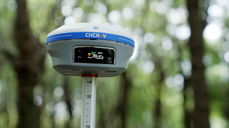
Discover how advanced GNSS receivers, such as those with integrated IMU and dual-camera technology, are transforming precision mapping and surveying. Learn about multi-constellation tracking, multipath mitigation, and real-time corrections that...

A practical guide to the CHCNAV RS7 and RS10 handheld SLAM LiDAR scanners — how SLAM and INS positioning work, when loop closure is and isn't needed, which scanner suits...
When choosing a LiDAR for precision mapping, critical specs include accuracy, weight, scan speed, and more. CHCNAV’s AA10 and AU20 systems excel with high precision, multiple returns, versatile integration, and...
Discover the Latest in Surveying & Mapping Technology