Enhancing Accuracy: A Dive into Advanced GNSS Receivers
In today's fast-paced world, precise positioning is critical across various industries—from agriculture and construction to surveying and autonomous vehicles. At the heart of this precision are GNSS (Global Navigation Satellite System) receivers, devices that enable users to determine their exact location anywhere on Earth. While all GNSS receivers serve the same basic purpose, the differences between them can significantly impact their performance, reliability, and suitability for specific applications. This blog post explores these differences, the benefits of using advanced CHCNAV devices, and key concepts like satellite constellations, multipath, NTRIP, and more.
Understanding GNSS and Satellite Constellations
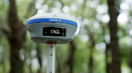
GNSS encompasses several satellite systems, including GPS (USA), GLONASS (Russia), Galileo (EU), and BeiDou (China). Each of these systems operates a network of satellites orbiting the Earth, transmitting signals that GNSS receivers use to calculate position. The more constellations a receiver can access, the more satellites it can use for positioning, leading to improved accuracy and reliability. For example, while GPS alone may offer sufficient coverage, combining signals from GPS, GLONASS, Galileo, and BeiDou can significantly enhance positioning accuracy, especially in challenging environments like urban canyons or dense forests.
Frequency Bands and Multipath Mitigation
GNSS signals are transmitted on different frequency bands, such as L1, L2, and L5. Each frequency has its strengths, with newer bands like L5 offering higher accuracy and better resistance to interference and multipath—an issue where signals bounce off surfaces like buildings, causing errors. Advanced receivers, like those from CHCNAV, utilize multi-frequency technology to mitigate multipath effects by distinguishing between direct and reflected signals, ensuring more precise positioning even in complex environments.
Position Calculation: From Pseudorange to Trilateration
The process of determining position involves calculating the distance between the receiver and multiple satellites, a technique known as trilateration. The receiver measures the time it takes for signals to travel from the satellites, known as pseudorange, and then uses these distances to pinpoint its location. Advanced GNSS receivers can refine these measurements using techniques like carrier phase tracking and Doppler shifts, which further enhance accuracy.
The Role of NTRIP, UHF, and Post-Processing in Enhancing Accuracy
For users requiring centimeter-level accuracy, technologies like NTRIP (Networked Transport of RTCM via Internet Protocol) and UHF radio links are invaluable. NTRIP allows GNSS receivers to access real-time correction data from a network of reference stations, significantly improving positioning accuracy. UHF radios provide an alternative method of receiving correction data in areas without internet access.
In addition to real-time corrections, post-processing methods like PPK (Post-Processed Kinematic) offer another layer of precision. PPK allows users to record raw GNSS data during a survey and then apply corrections after the fact, yielding highly accurate results without the need for constant connectivity.

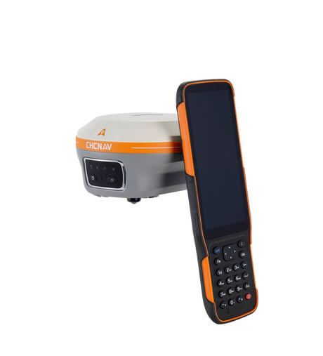
Why Choose CHCNAV GNSS Receivers?
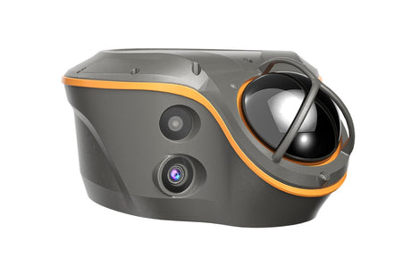
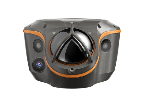
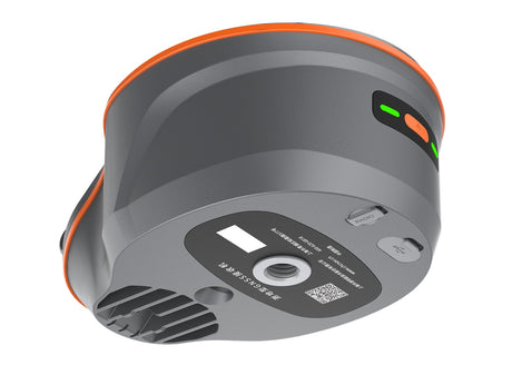
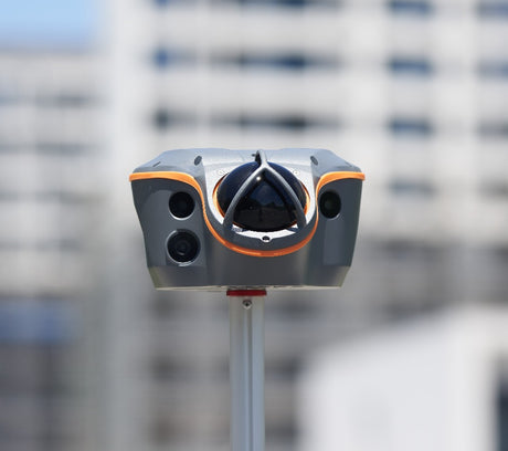
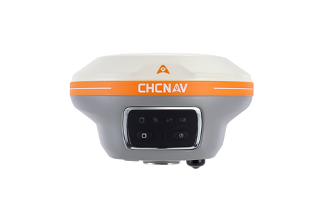
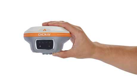
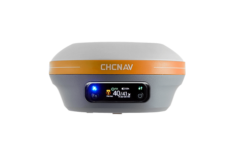
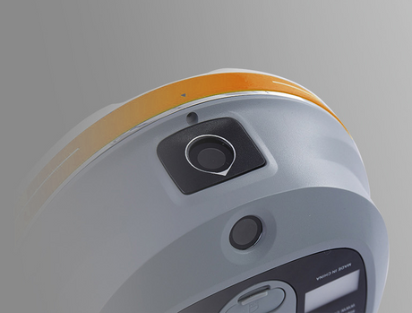
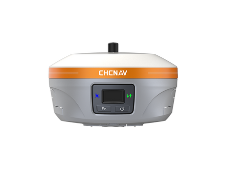
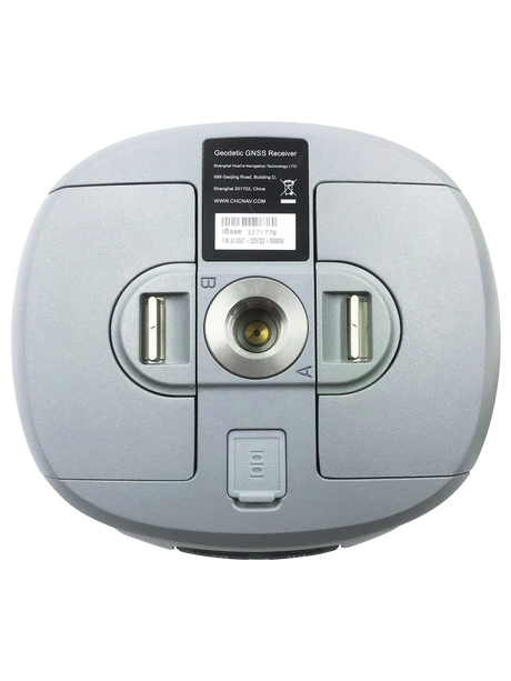
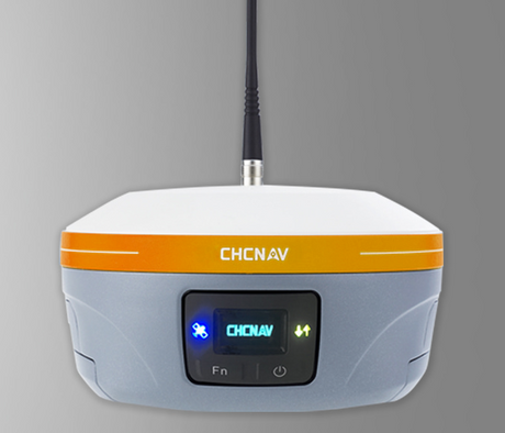
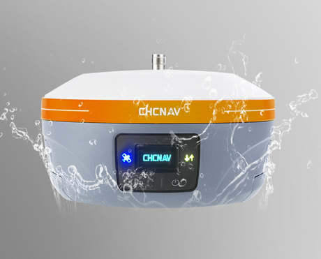
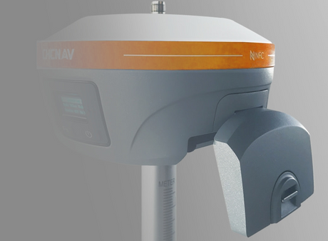
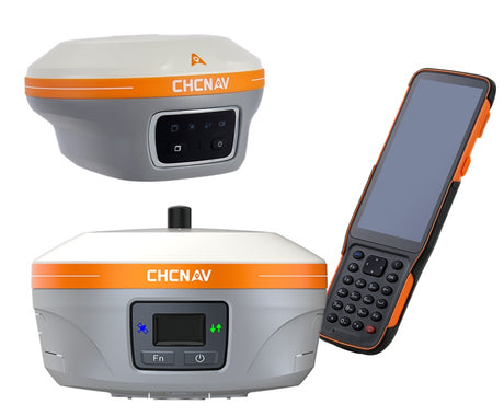
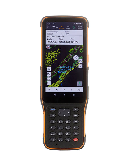
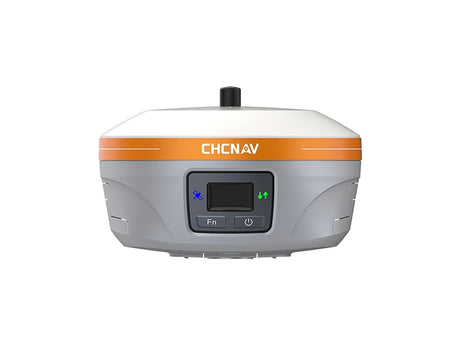
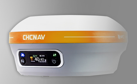
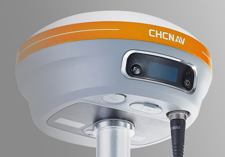
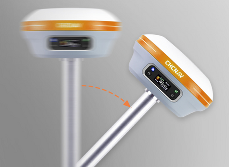
CHCNAV GNSS receivers, such as the i89 and i93, are designed with these advanced technologies in mind. The i89, for instance, is a compact, high-performance receiver that integrates the latest GNSS, Auto-IMU, RTK, and dual-camera technologies in a lightweight 750g design. It supports multi-constellation and multi-frequency tracking, providing robust and reliable positioning even in challenging conditions. The i89 also features built-in dual cameras and a 200 Hz Auto-IMU, enhancing the precision and ease of visual surveying and 3D modeling.
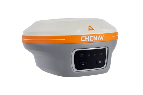
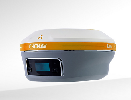
The i93, another advanced model, incorporates similar high-end features and supports full constellation tracking, which significantly boosts its accuracy and reliability. These devices also integrate seamlessly with NTRIP and UHF systems, making them versatile tools for a wide range of applications. Additionally, their support for post-processing workflows like PPK ensures that users can achieve the highest levels of accuracy, whether working in real-time or reviewing data after the fact.
Conclusion
Not all GNSS receivers are created equal. The differences in satellite constellations, frequency support, and correction methods can have a profound impact on the accuracy and reliability of positioning data. By choosing advanced GNSS receivers like those from CHCNAV, users can ensure they have the tools needed to navigate the complexities of the modern world with precision and confidence.