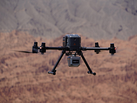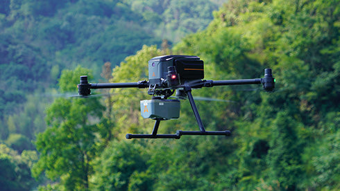
CHCNAV X500
CHCNAV X500 - Professional UAV Platform for Surveying and Mapping
Product Overview:
The CHCNAV X500 UAV is a high-performance, multirotor drone designed for precision surveying, mapping, and inspection tasks. Built with advanced technology and a robust design, the X500 delivers reliable performance for professionals in industries such as construction, agriculture, mining, and land surveying. Whether you're capturing high-resolution imagery, generating 3D models, or conducting inspections, the X500 is a versatile and efficient solution for your geospatial needs.
Key Features:
1. High-Precision Data Capture
- Equipped with advanced GNSS and IMU systems for survey-grade accuracy.
- Supports high-resolution RGB cameras and LiDAR payloads for detailed mapping and 3D modeling.
2. Extended Flight Time
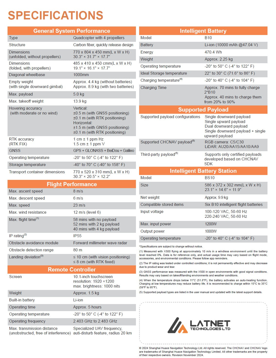
- Up to 50 minutes of flight time (with standard payload), ensuring maximum coverage in a single mission.
- Optimized battery performance for long-duration operations.
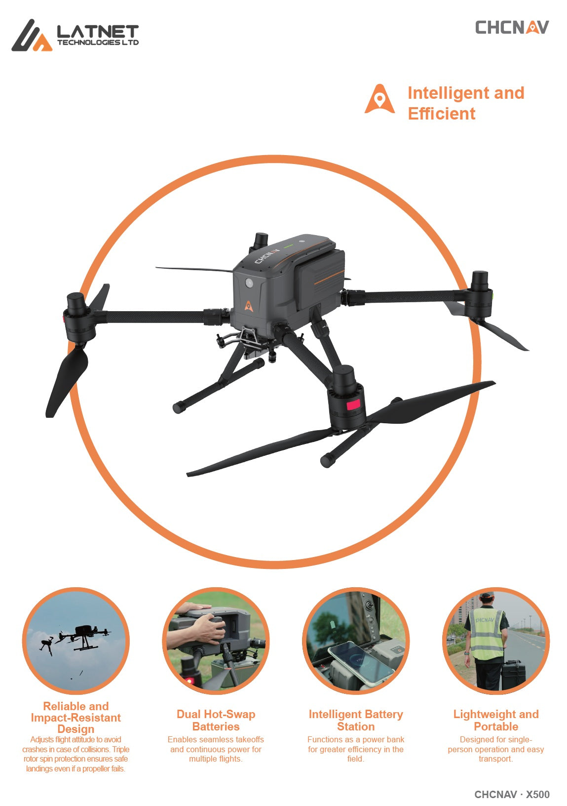
3. Robust and Reliable Design
- Durable carbon fiber construction for stability and resistance to harsh environmental conditions.
- Compact and foldable design for easy transport and quick deployment.
4. Intelligent Flight Planning
- Compatible with professional flight planning software for automated missions and efficient data collection.
- Real-time data transmission and monitoring for enhanced operational control.
5. Versatile Payload Options
- Supports a wide range of payloads, including high-resolution cameras, multispectral sensors, and LiDAR systems.
- Ideal for applications such as topographic mapping, asset inspection, and agricultural monitoring.
Supported Payloads:
- RGB Cameras: High-resolution cameras for photogrammetry and detailed imaging.
- LiDAR Systems: Compatible with industry-leading LiDAR sensors for 3D point cloud generation.
- Multispectral Sensors: Ideal for agricultural and environmental monitoring.
Why Choose the CHCNAV X500?
The CHCNAV X500 UAV combines advanced technology, robust construction, and versatile payload options to meet the demands of modern surveying and mapping professionals. Whether you're working on large-scale topographic surveys, infrastructure inspections, or precision agriculture, the X500 delivers the accuracy, efficiency, and reliability you need to get the job done.
Enhance Your Operations with the CHCNAV X500
Experience the next level of UAV technology with the CHCNAV X500. Designed for professionals who demand precision and performance, the X500 is your trusted partner for all your geospatial data collection needs.
Technical Specification and Features
CHCNAV X500 UAV
X500 features
X500 high-end unmanned aircraft system


Built for Tough Missions
From corridor mapping to disaster response, the X500 adapts to your workflow with full support for CHCNAV LiDAR and third-party payloads. Its smart battery system, long endurance, and 20 km transmission range give you the confidence to fly farther and capture more.

Redundant by Design, Reliable in Action
The X500’s triple-redundant IMU, dual-redundant GNSS, and flight control systems ensure unmatched reliability. Intelligent return-to-home protocols protect your equipment in the event of GPS loss, signal failure, or low battery — so every flight is secure from launch to landing.

Field-Tested for Dependability
With redundant systems (dual GNSS, triple IMU), millimeter-wave radar, and vSLAM, the X500 has proven its reliability in real-world field trials—from Canadian cold climates to infrastructure corridor inspections.

Rugged Design, Reliable Results
Featuring a carbon-fiber and titanium alloy structure, the X500 undergoes extensive vibration, drop, and weather simulations to ensure field-ready toughness. Professionals trust its durability, day after day.
