


CHCNAV ViLi i100 Visual-LiDAR GNSS RTK Receiver
ViLi i100 Versatile Visual-LiDAR GNSS Receiver
Elevate your surveying game with the ViLi i100 from CHCNAV – the flagship GNSS RTK receiver that combines advanced Visual-LiDAR technology with consistent centimeter-level accuracy, even in the toughest obstructed environments. Designed for professionals in geospatial, construction, and surveying fields, this all-in-one device ensures you can trust every fix, no matter the challenges. With integrated multi-sensor fusion, SFix 2.0 algorithms, and high-precision LiDAR, the ViLi i100 pushes beyond traditional GNSS limits, delivering reliable results in dense forests, urban canyons, under viaducts, or near high-rise buildings.
Now, You Can Trust Every Fix! The ViLi i100 is engineered for complex terrains where GNSS signals falter. Its next-gen features like real-time 3D point cloud scanning, contactless surveying, and earthwork calculations make it a game-changer for efficient, safe, and accurate data collection.
Key Features
- Confident and Consistent Accuracy in Obstruction: Powered by an enhanced SFix 2.0 engine, achieve 5 cm absolute accuracy within 20 m in GNSS-denied areas. Next-gen 860,000 pts/sec LiDAR fusion captures 3D spatial data while automatically filtering multipath errors from obstructions – 3x better than standard systems. Enjoy stable, jump-free positioning in narrow alleys or dense foliage.
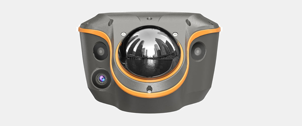
- Vi-LiDAR Contactless Survey: Capture multiple 3D coordinates with a single photo – no aiming, no steady hold, no hand tremors. The 8 MP HD telephoto camera provides clear visuals up to 15 m with typical 5 cm accuracy. Say goodbye to risky close-up measurements; this feature combines precision, efficiency, and safety for hard-to-reach areas.
- Real-Time 3D Point Cloud Earthwork Calculation: High-precision LiDAR scanning and intelligent filtering enable on-site cut/fill volume calculations. Just scan, define boundaries, and get instant results – accurate to 99.98%, fast, and safe. Perfect for construction sites without needing additional tools.
- All-in-One Flagship GNSS Receiver: Full support for radio base-rover, NTRIP, UHF, and PPP modes in a compact device. Compatible with LandStar software, it includes all conventional RTK functions plus AR visual stakeout via dual cameras, boosting workflows by up to 50%. Dual-camera setup offers a combined 130° (H) x 46° (V) FOV for true-color point clouds and CAD integration.
- Enhanced SFix 2.0 Engine: Reconstruct precise positioning using 3D laser data and SLAM-based constraints – no total station switching required. Delivers <5 cm accuracy in GNSS-obstructed scenarios, ensuring a true "GNSS anywhere" experience.
Use Cases
- GNSS Signal-Obstructed Areas: Reliable performance in urban environments or under partial cover.
- GNSS Signal-Denied Areas: Maintain 5 cm accuracy up to 20 m without satellite signals.
- Earthwork Calculation: Real-time volume assessments for excavation and construction projects.
- Contactless Surveying: Safe, non-contact measurements in hazardous or inaccessible spots.
Technical Specifications & Features
CHCNAV CHCNAV ViLi i100 Visual-LiDAR GNSS RTK Receiver

ViLi i100 Features
The ViLi i100 is CHCNAV's flagship Visual-LiDAR GNSS RTK
receiver for next-generation of high-precision surveying.
CHCNAV ViLi i100 GNSS Receiver-LiDAR
Versatile Visual-LiDAR GNSS Receiver
with Consistent Accuracy in Obstruction

