C504 Mapping Camera
CHCNAV C504 Aerial Mapping Camera
High-Resolution Camera for UAV-Based 2D & 3D Mapping
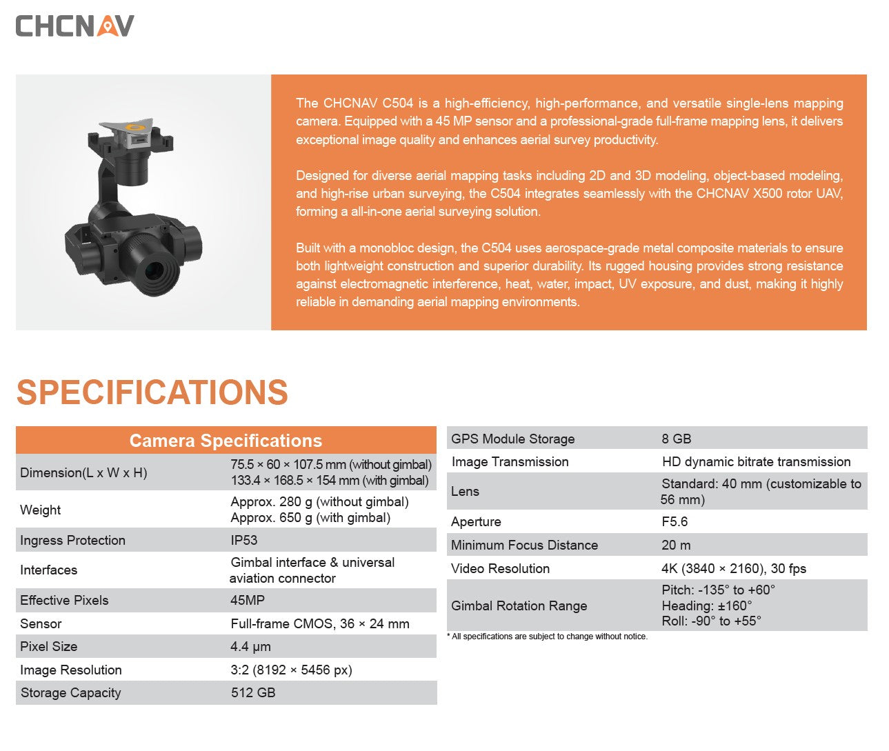
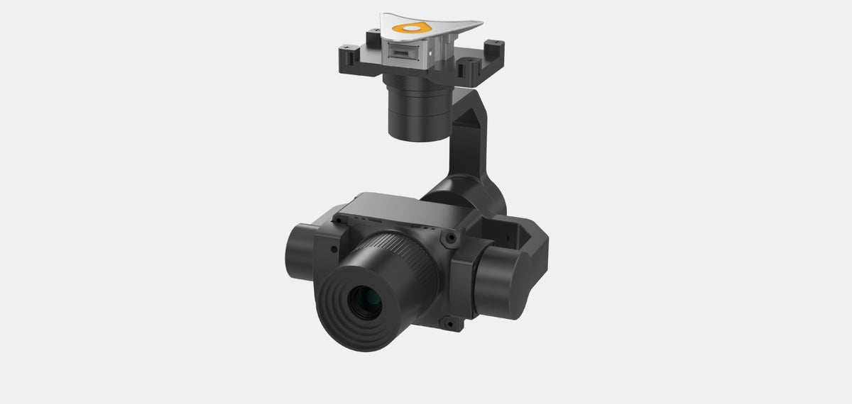
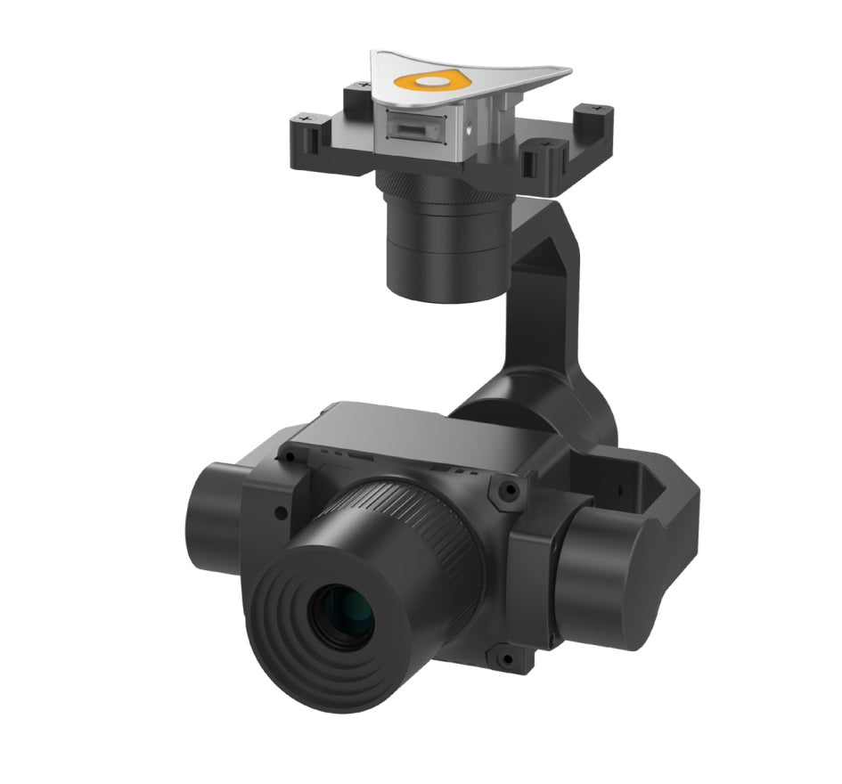
The CHCNAV C504 is a professional-grade aerial mapping camera engineered for demanding photogrammetry, 3D modeling, and object-based surveying tasks. Equipped with a 45 MP full-frame CMOS sensor and a 40 mm high-precision mapping lens, the C504 captures stunningly sharp, distortion-free imagery — making it the ideal solution for applications that require precise, high-resolution image data.
Designed for seamless integration with the CHCNAV X500 UAV, the C504 forms a complete, efficient, and lightweight aerial survey system. Its aerospace-grade monobloc construction ensures both rugged durability and minimal weight, enhancing flight performance and operational reliability in harsh field environments.
Key Features:
✅ 45 MP Full-Frame Sensor
Capture ultra-clear images at 8192 × 5456 resolution with a 36 × 24 mm CMOS sensor and 4.4 µm pixel size — ideal for producing orthophotos, DSMs, and 3D models with high spatial accuracy.
✅ Professional Mapping Lens
Pre-installed with a 40 mm mapping-grade lens (customizable), offering <20 m minimum focus distance and F5.6 aperture for optimal sharpness across the frame.
✅ Seamless UAV Integration
Purpose-built to integrate with the CHCNAV X500 UAV, utilizing the AlphaPort for streamlined data and power connectivity.
✅ Robust & Lightweight Design
Crafted with aerospace-composite materials, the camera weighs just 280 g (without gimbal) and delivers high thermal, water, dust, impact, and EMI resistance (IP53 rated).
✅ Built-in GNSS Module + 512 GB Storage
Capture and store data with full geotagging capability — onboard 8 GB GNSS data logging and 512 GB SSD capacity for extended missions.
✅ Stabilized Imaging with Gimbal Option
Supports gimbal rotation (Pitch: -135° to +60°, Roll: -90° to +55°, Heading: ±160°) for stable imagery during flight over varied terrains.
✅ 4K Video Capture
Optional 4K video recording at 30 fps enables mission documentation or hybrid imaging missions.
Why Choose the C504?
-
Precision You Can Count On: Perfect for urban modeling, high-rise facade capture, and precision corridor mapping.
-
Optimized for CHCNAV Ecosystem: Fully compatible with X500 and CHCNAV’s post-processing tools.
-
Durability in the Sky: IP53 housing ensures reliability in all-weather operations.
-
Ready for Workflows: Ideal for survey firms, municipal planning, infrastructure inspection, and environmental monitoring.
Technical Specifications & Features
CHCNAV C5 Aerial Camera

C504 Aerial Mapping Camera Features
CHCNAV C504


