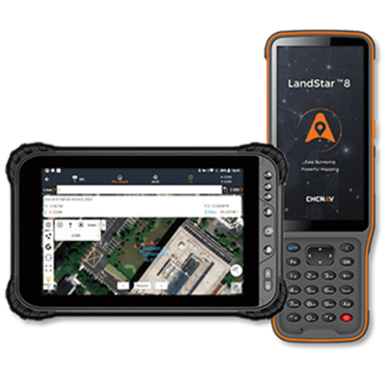
CHCNAV LandStar Land Surveying and Mapping Software for Android
CHCNAV LandStar Land Surveying and Mapping Software for Android
Product Overview: LandStar by CHCNAV is a user-friendly, versatile and most advanced land surveying and mapping application designed for Android devices. This app streamlines the data collection process, making it easy for field operators to complete high-precision surveying and mapping projects efficiently. With its advanced graphics engine, intuitive interface, and extensive cloud connectivity, LandStar provides unparalleled field experience and productivity.
Key Features:
User-Friendly Operation
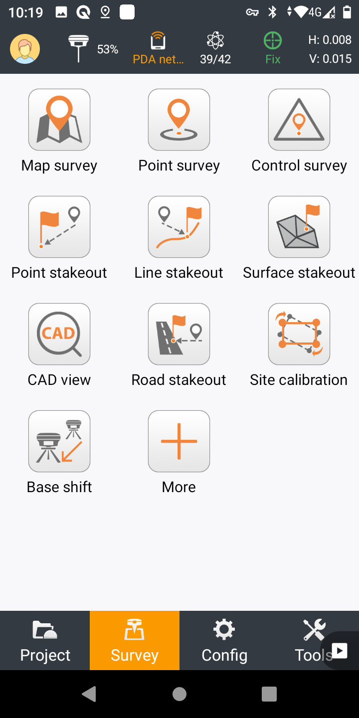
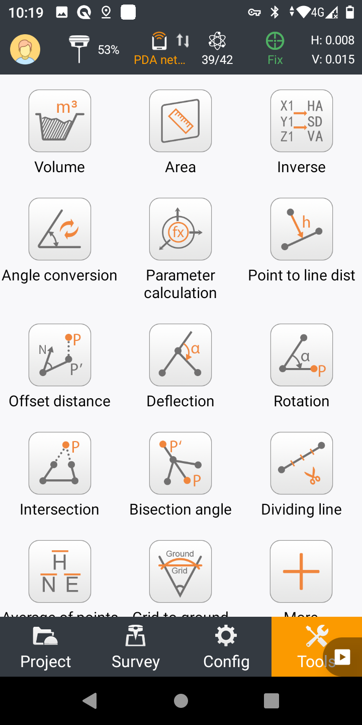
- Intuitive Layout: Simple and clear design with large map windows and sharp graphics. The app displays only relevant information, and unused functions can be hidden to simplify operation.
Advanced Display of Base Maps
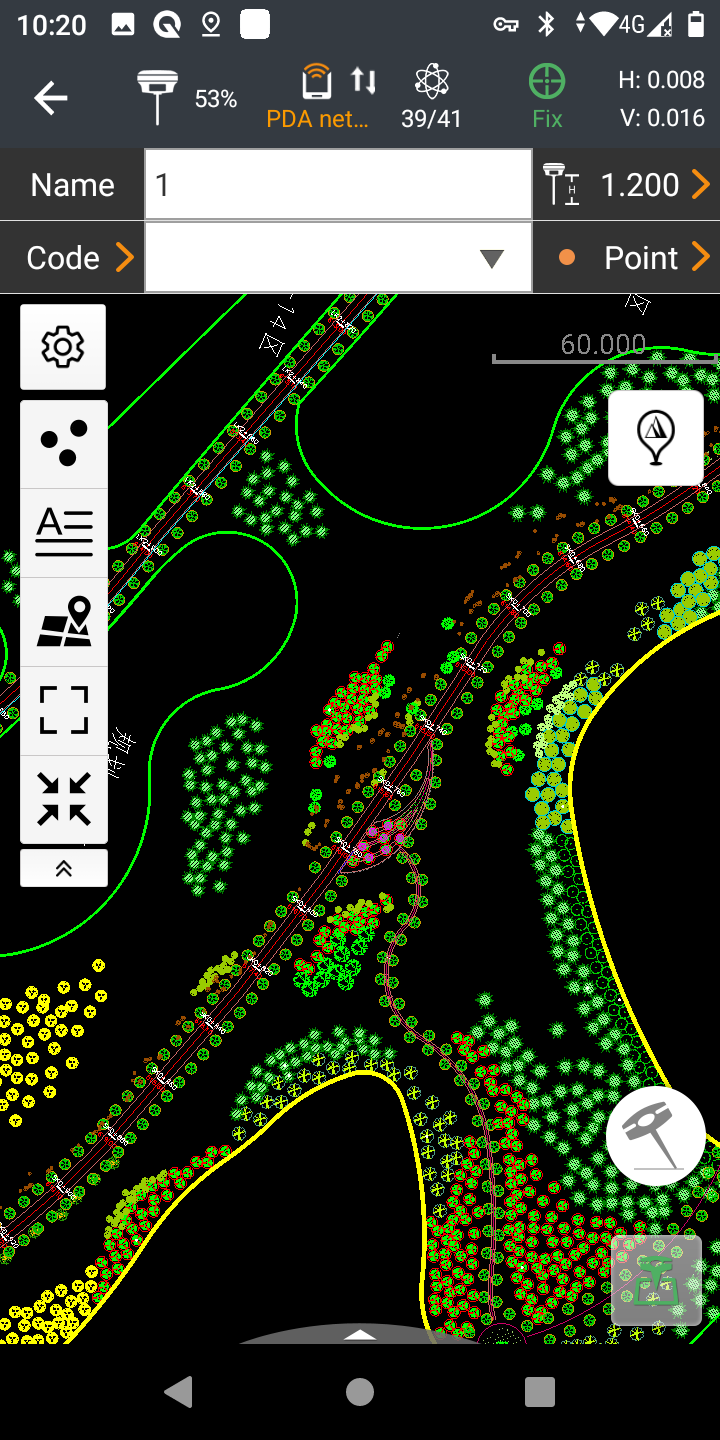
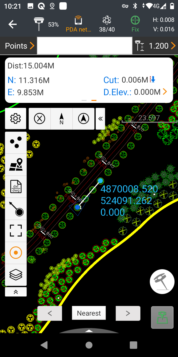
- MetaCAD Graphics Engine: Opens DWG and DXF base maps quickly, providing smooth rendering and improved user experience. Supports opening files up to 200 MB in seconds.
- Smart Base Map Functions: Includes "Quick Code" for one-click feature coding, external reference file support, CAD length unit recognition, and field editing of CAD base maps.
Extended Cloud Connectivity
- Cloud-Based Architecture: Supports project backup, collaborative work, data storage, and remote support for resolving user issues.
- Share Code Feature: Allows quick transfer of project data between office computers and field controllers or between different field controllers.
Simplified Project and Coordinate System Management
- Quick Start: Easily copy coordinate settings, control, and stake out points from another handheld controller by scanning a QR code.
- Convenient Project Management: Edit and sort projects by history and properties, with dynamic updates of custom coordinate systems, geoid models, and codification libraries.
- Site Calibration Wizard: Designed to be straightforward for non-expert users.
Easy to Use and Feature-Rich
- Field-Proven Application: Built around easy-to-use workflow management and an intuitive graphical interface.
- Comprehensive Industry Applications: Supports construction surveying, control point measurement, CAD project support, stakeouts, road construction, GIS data acquisition, and more.
- Seamless Integration: Comprehensive data import/export formats for instant productivity.
System Features:
- Concise User Interface: Simple and intuitive, with physical keyboard shortcuts.
- High-Performance MetaCAD Graphics Engine: Opens large CAD files quickly.
- Online Software Registration and Update: Cloud services, sharing code, and remote tool support.
- Project Auto Backup: Local and cloud options for deployment backup and restore.
- Automatic Photographing: For enhanced data collection.
- UAV Base Mode: Supports DJI UAV integration.
- Flexible Installation: Compatible with a wide range of devices and peripherals.
Why Choose CHCNAV LandStar 8?
LandStar combines ease of use with powerful features to provide an efficient and effective solution for land surveying and mapping. Its intuitive interface, advanced graphics engine, and comprehensive cloud connectivity make it the preferred choice for professionals seeking to enhance their productivity and accuracy in the field.
Upgrade your surveying capabilities with LandStar and experience the future of land surveying and mapping technology today.
Landstar 8 features
Easy to use and feature-rich land surveying and mapping app for Android