Welcome to LATNET store!
High-end geospatial solutions and equipment.
Capture high-resolution aerial imagery with specialized UAS cameras for precise and detailed geospatial mapping.
CHCNAV
CHCNAV C504 45MP Aerial Mapping Camera
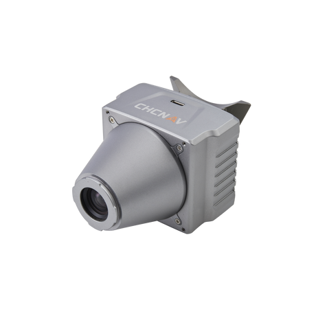
CHCNAV C5 45MP Orthographic Mapping Camera
CHCNAV C30 130MP Oblique Photogrammetry Camera