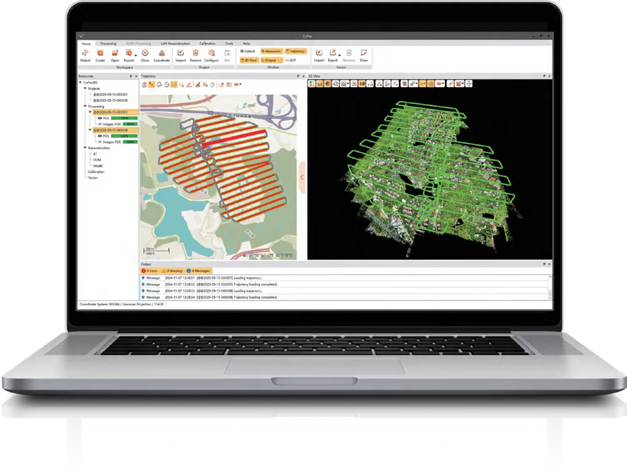
LiDAR pre-processing · CHCNAV
CHCNAV CoPre download
LiDAR pre-processing software for CHCNAV airborne, mobile and SLAM scanners.
- Platform
- Windows 10 / 11 (64-bit)
- Version
- Latest release
- Download
- 4.2 GB (.zip)
- User manual
- Built-in help – contact us for documentation
- Licence
- Permanent or time-limited registration code, or USB dongle.
Download CHCNAV CoPre
Enter your details and the download links appear right away.
Thank you! Your download is ready.
- CoPre installerCoPre.zip · 4.2 GBDownload
Need a licence, a trial code or help installing? Call +1 (403) 397-2210 or send us a message.
What is CHCNAV CoPre?
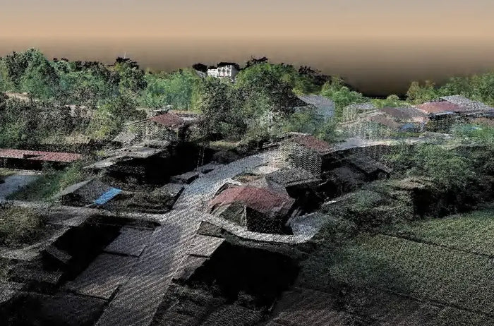
CHCNAV CoPre is the pre-processing software behind every CHCNAV LiDAR system. It takes the raw data from airborne, vehicle-mounted, backpack and handheld SLAM scanners and produces accurate, georeferenced and colourised point clouds – the starting point for every LiDAR deliverable.
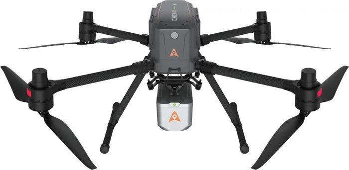
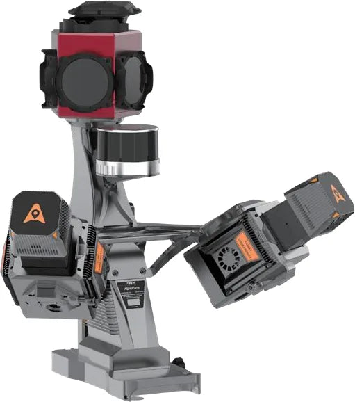
Whether you fly an AlphaAir UAV LiDAR, drive an AlphaUni mobile mapping system or walk with an RS-series handheld SLAM scanner, CoPre reads the data directly and guides you to finished results in six steps.
Main features
Trajectory (POS) processing
CoPre computes the sensor trajectory with CHCNAV's own GNSS/IMU algorithm, then georeferences the LiDAR points and camera images. Several projects can be processed in parallel to save time.
Strip adjustment and control points
An advanced mode removes layering between overlapping strips and improves relative accuracy. Add ground control points to tighten absolute accuracy – CHCNAV quotes about 30% thinner point clouds than comparable products.
Colourisation, quality checks and reports
Colour point clouds from the onboard cameras, view datasets over 200 GB smoothly, check strips with automatic profiles, compare against elevation control points and export accuracy reports.
Orthophotos and 3D models
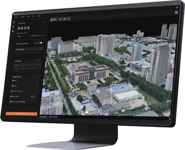
The reconstruction module runs aerial triangulation to create digital orthophoto maps (DOM) and 3D mesh models from the same flight – no extra software needed. Handheld SLAM data gets one-click optimisation, multi-station stitching and 3D modelling.
Coordinate systems for Canada
Choose from a worldwide coordinate system library or define your own projection and geoid. LATNET can set CoPre up for NAD83(CSRS), UTM / 3TM zones and the Canadian geoid models used in your province.
Supported CHCNAV LiDAR systems
- UAV LiDAR: AlphaAir series (AA450, AA6, AA9, AA10, AA15)
- Mobile and backpack LiDAR: AlphaUni series (AU20 and others)
- Handheld SLAM: RS series (RS7, RS10)
System requirements
| Operating system | Windows 10 / 11, 64-bit (NTFS) |
|---|---|
| Processor | Intel Core i7 minimum, Core i9 recommended |
| Memory | 16 GB minimum, 32 GB or more recommended |
| Storage | 500 GB SSD minimum, 1 TB SSD recommended; RAID for large projects |
| Graphics | NVIDIA GeForce, 4 GB minimum, 6 GB recommended |
| Licence | Permanent or time-limited registration code, or USB dongle |
| Languages | English, Russian, Japanese, Chinese |
CoPre licences are usually supplied with a CHCNAV LiDAR system. Contact LATNET for extra seats, upgrades or the airborne modelling module.