Point cloud processing · CHCNAV
CHCNAV CoProcess download
Point cloud processing software for scan-to-CAD, terrain modelling and volumes.
- Platform
- Windows 10 / 11 (64-bit)
- Version
- 2026.1.2
- Download
- 634 MB (.zip)
- User manual
- Included (37 MB PDF)
- Licence
- Time-limited registration code or USB dongle. Free trial activated online.
Download CHCNAV CoProcess
Enter your details and the download links appear right away. After installing, start your free CoProcess trial online from the licence window – or ask us for a trial code.
Thank you! Your downloads are ready.
- CoProcess installerCoProcess 2026.1.2-20260827.zip · 634 MBDownload
- CoProcess user manualCoProcess Software User Manual.pdf · 37 MBOpen manual (PDF)
Need a licence, a trial code or help installing? Call +1 (403) 397-2210 or send us a message.
What is CHCNAV CoProcess?
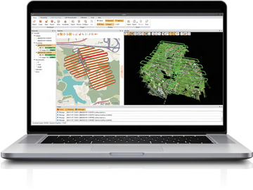
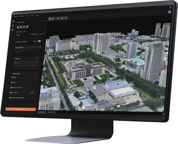
CHCNAV CoProcess is point cloud processing software that turns large LiDAR datasets into engineering-ready survey deliverables. It brings classification, scan-to-CAD drafting, terrain modelling and volume calculation together in one AI-assisted Windows workflow, so you can go from a raw point cloud to CAD drawings, DEM/DSM, contours and volume reports without switching between programs.
CoProcess is built for big projects: it handles datasets of more than 300 GB and billions of points at full resolution. CHCNAV reports that terrain classification of a 100 GB dataset finishes in about two hours.
Main features
Automatic point cloud classification
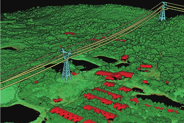
Separate ground, vegetation, buildings, power lines and other classes automatically, then clean up with editing tools. Classified data is ready for terrain models, corridor mapping and asset extraction.
Scan-to-CAD drafting
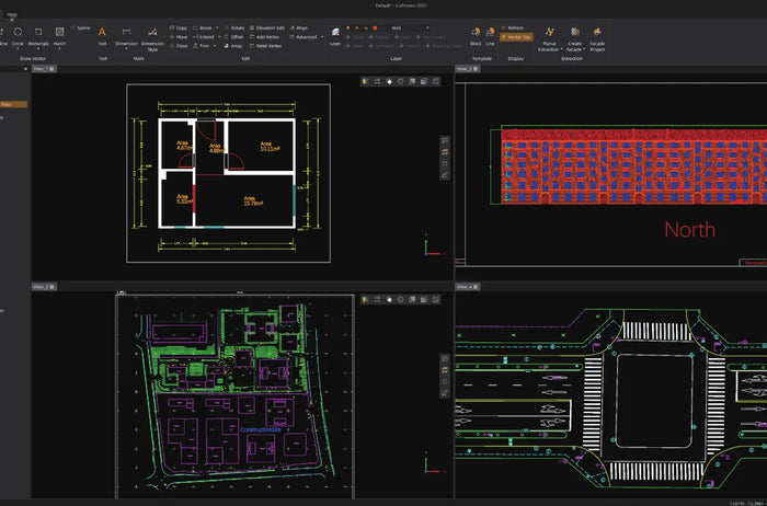
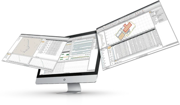
Draft 2D and 3D CAD linework directly on the point cloud – building outlines, floor plans, road edges and site features – and export it to your CAD software.
Terrain modelling: DEM, DSM and contours
Generate bare-earth DEMs, surface DSMs and contour lines for topographic surveys, design and construction.
Stockpile and earthwork volumes
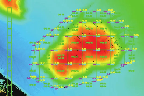
Calculate cut, fill and stockpile volumes quickly and compare surveys over time with multi-temporal point clouds – ideal for aggregate pits, mines and construction progress monitoring.
Who uses CoProcess?
- Surveyors producing topographic plans and contours from UAV or mobile LiDAR
- Engineering and construction firms that need CAD-ready as-builts
- Aggregate, mining and earthworks companies measuring stockpiles
- Utilities classifying power line corridors and vegetation
Free CoProcess trial
Download CoProcess from this page and start a free trial online from the licence window after installation. For a longer evaluation, a permanent licence or a USB dongle, contact LATNET – we supply CoProcess licences across Canada and can walk you through your first project.
System requirements
| Operating system | Windows 10 / 11, 64-bit |
|---|---|
| Processor | Intel Core i7 minimum, Core i9 recommended |
| Memory | 16 GB minimum, 32 GB recommended |
| Graphics | NVIDIA GTX 1050 Ti (4 GB) minimum, RTX 3060 (6 GB) recommended |
| Display | 1920 × 1080 or higher recommended |
| Licence | Time-limited registration code or USB dongle; online version check |
| Languages | English, French, German, Spanish, Russian, Japanese, Korean, Chinese |