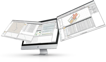
Field data collection · CHCNAV
CHCNAV LandStar 8 download
Field surveying and mapping app for Android and CHCNAV controllers.
- Platform
- Android 6.0.1 and newer
- Version
- 8.3.1
- Download
- 201 MB (.zip)
- User manual
- Included (37 MB PDF)
- Licence
- Online registration on the controller.
Download CHCNAV LandStar 8
Enter your details and the download links appear right away.
Thank you! Your downloads are ready.
- LandStar 8 installerLandStar-8.3.1.20260818-release-android-en.zip · 201 MBDownload
- LandStar 8 user manualLandStar 8.2_User Manual.pdf · 37 MBOpen manual (PDF)
Need a licence, a trial code or help installing? Call +1 (403) 397-2210 or send us a message.
What is CHCNAV LandStar 8?
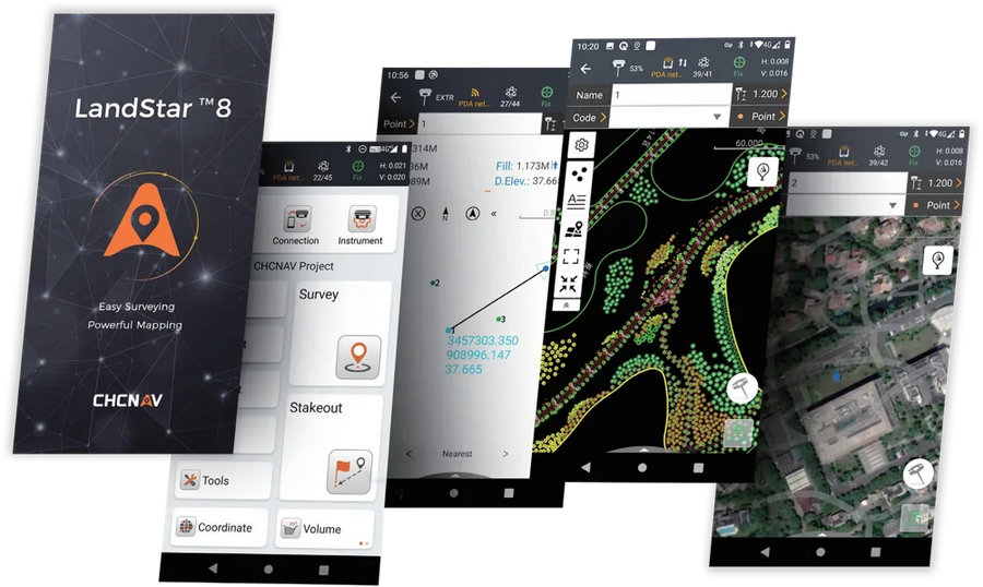
LandStar 8 is CHCNAV's field surveying and mapping app for Android phones, tablets and CHCNAV data controllers. It runs CHCNAV GNSS receivers and supported total stations for construction surveys, control, topographic mapping, stakeout, road work and GIS data collection – with a clean interface that new crew members learn quickly.
Main features
Easy to learn
Large map windows, only the tools you need on screen, a customisable layout and built-in video tutorials help field crews get productive fast.
Fast CAD base maps
The MetaCAD engine opens DWG and DXF files quickly – CHCNAV quotes 200 MB DXF files in under 10 seconds on its controllers. Snap to endpoints and nodes, edit CAD in the field, use external references and Quick Code to draw linework while you survey.
Stakeout for every job
Stake out points, lines, surfaces and roads with clear graphical guidance.
Quick project set-up
Copy coordinate systems, control and stakeout points from another controller by scanning a QR code, and use the site calibration wizard for local grids.
Cloud connectivity
Back up projects, share data between office and field with a Sharing Code, and get remote help from the office.
Supported hardware
- CHCNAV GNSS receivers (i-series rovers, iBase and more)
- CHCNAV HCE600, LT700 / LT700H controllers and Android 6.0.1+ devices
- Total stations, NMEA receivers, pipe locators and laser rangefinders
- Corrections via NTRIP (for example the LATNET CORS network in Alberta), TCP or UHF radio
Details
| Operating system | Android 6.0.1 and newer |
|---|---|
| Licence | Online registration |
| Languages | English, French and 30+ more |
| Download | Zip containing the Android APK – unzip and install on your controller |
New to LandStar? LATNET offers set-up and field training in Calgary and across Canada. Book a session.