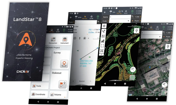
Field surveying app
CHCNAV LandStar 8
RTK survey, stakeout, road design and GIS collection with CHCNAV GNSS receivers and total stations.
Android · CHCNAV controllers
View details →Free download
Book live Demo now.

8 programs · authorized dealer
Field surveying app
RTK survey, stakeout, road design and GIS collection with CHCNAV GNSS receivers and total stations.
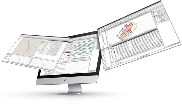
GNSS post-processing
Static, PPK and PPP processing, network adjustment, UAV geotags and CORS data download.
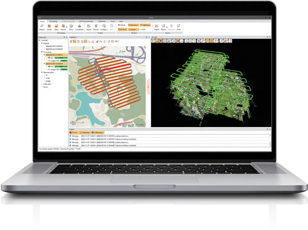
LiDAR pre-processing
Trajectory, strip adjustment, colourised point clouds and DOM for every CHCNAV LiDAR system.
Point cloud processing
Classification, scan-to-CAD, DEM/DSM, contours and stockpile volume reports in one program.
Production LiDAR suite
TerraScan, TerraMatch, TerraModeler and TerraPhoto for large airborne and mobile LiDAR projects.
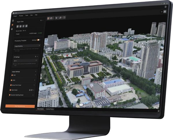
Photogrammetry & 3DGS
Orthomosaics, DSMs, textured meshes and 3D Gaussian Splatting from 100,000+ drone images.

Photogrammetry
Orthomosaics, DEMs, dense point clouds and textured 3D models from drone and aerial photos.
3DGS viewer
Open, explore and present 3D Gaussian Splatting models on any Windows PC – no licence needed.
Software selection guide
Pick the stage of your workflow – from field capture to final deliverables – and see which program fits. Every CHCNAV program can be downloaded and tested before you buy.
Field surveying and stakeout with a CHCNAV GNSS receiver or total station
Classification, scan-to-CAD, DEM/DSM, contours and stockpile volumes
Production workflows: strip adjustment, surfaces and orthophotos
Orthomosaics, DEMs, dense point clouds and textured 3D models from drone photos
Viewing and presenting 3D Gaussian Splatting (3DGS) models
LATNET Technologies Ltd. in Calgary is an authorized CHCNAV dealer and supplies TerraSolid and Agisoft Metashape licences across Canada. Together they cover the whole geospatial workflow – from GNSS field data collection and LiDAR pre-processing to point cloud classification, photogrammetry, 3D models and CAD-ready survey deliverables.
Software can be bundled with CHCNAV GNSS receivers, LiDAR scanners and drones, or with rented equipment. We help you choose the right edition, install it and train your team.