🌍 Leading CHCNAV Solutions Across All Industries 🌍
LATNET Technologies is proud to be Canada’s official distributor for CHC Navigation (CHCNAV) — a global geospatial powerhouse with operations in over 140 countries and a team of more than 2,000 professionals worldwide.
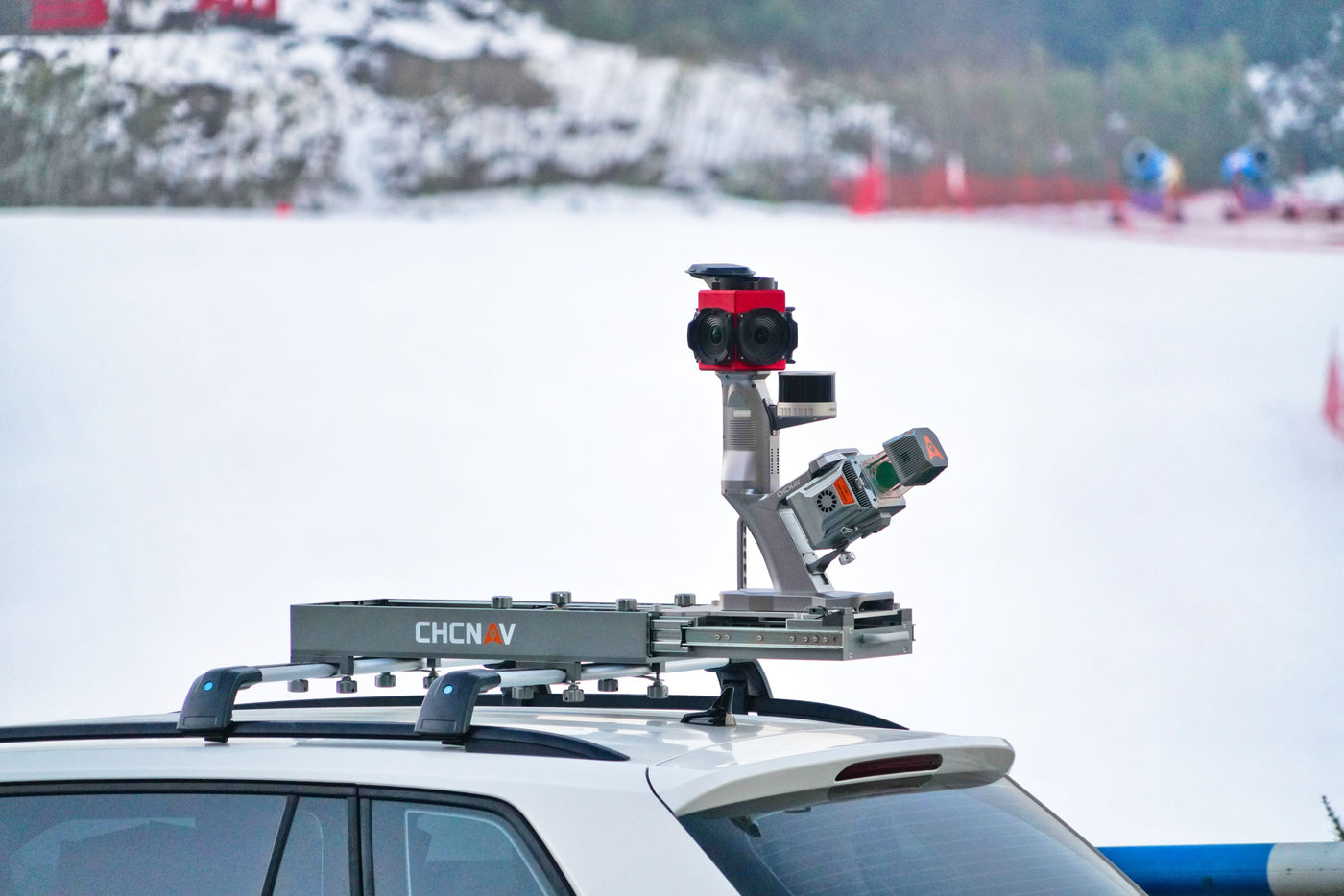
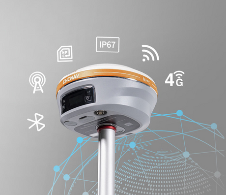
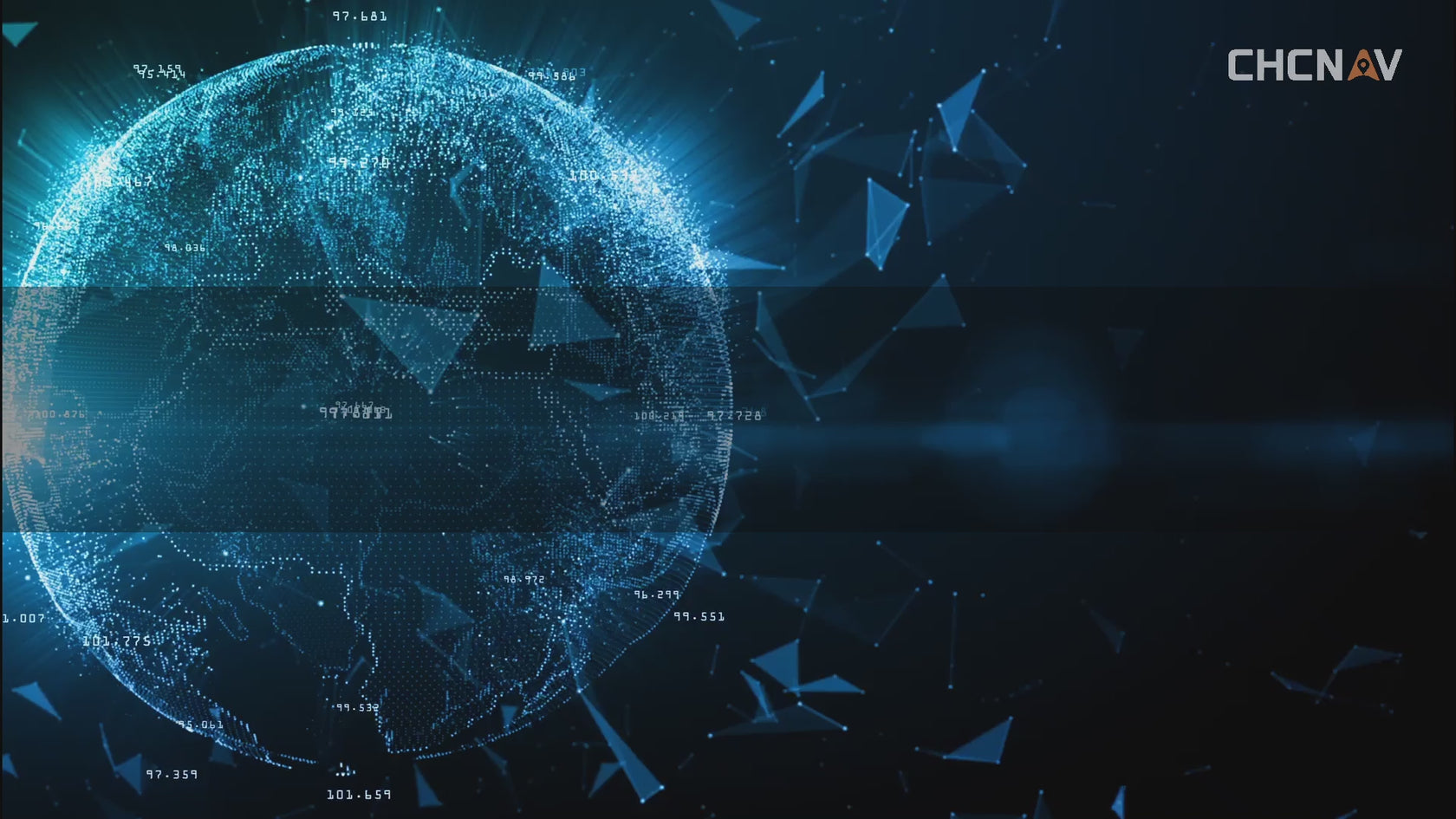
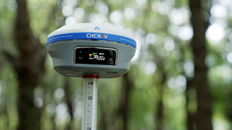
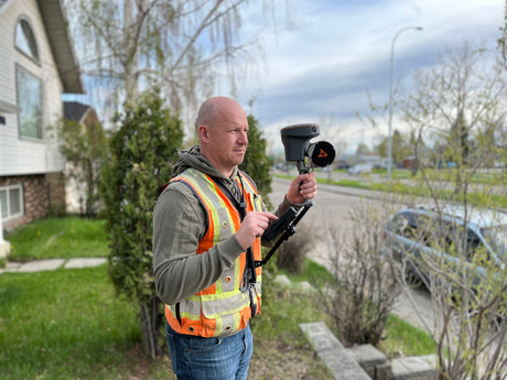
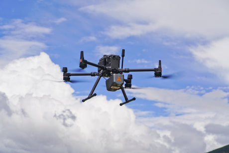
CHCNAV delivers advanced positioning technology across land surveying, construction and machine control, mobile and airborne LiDAR mapping, UAV and drone applications, hydrographic and bathymetric surveying, autosteering for agriculture, and smart city development. Whether you need GNSS receivers, LiDAR payloads, autopilots, or sonar systems — CHCNAV sets the standard in each field.
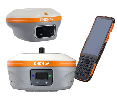
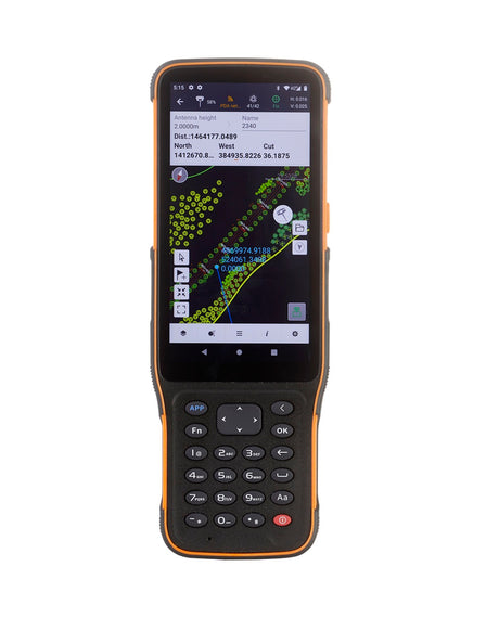
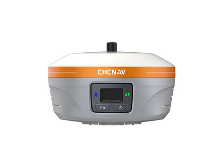
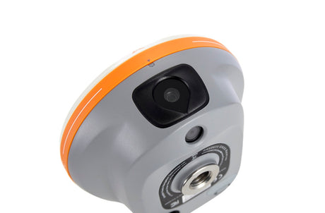
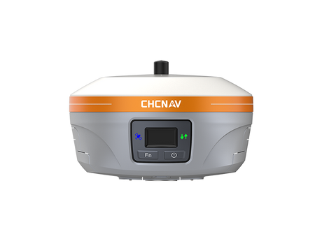
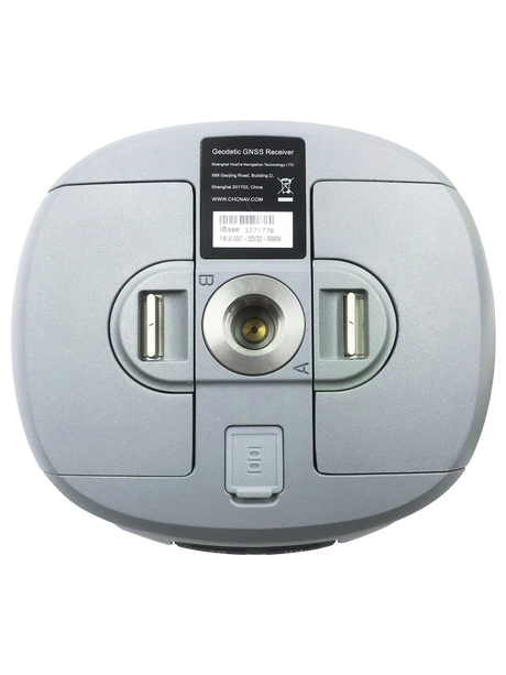
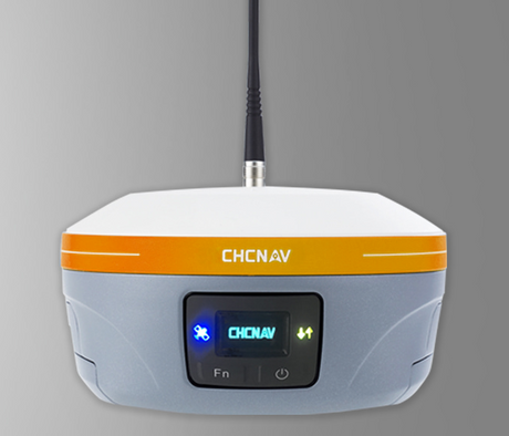
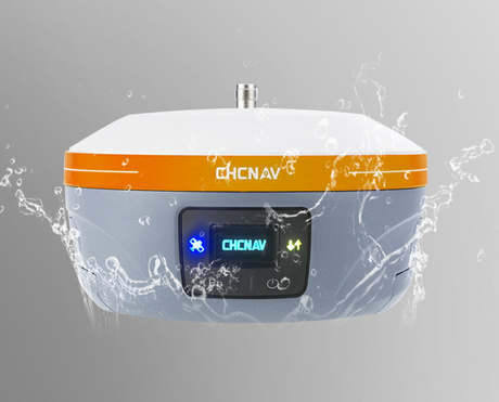
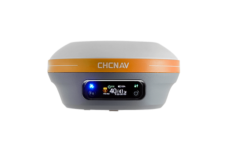
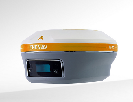
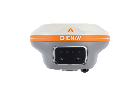
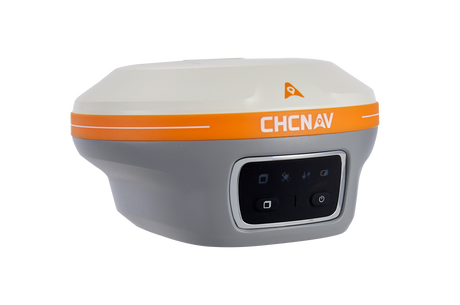
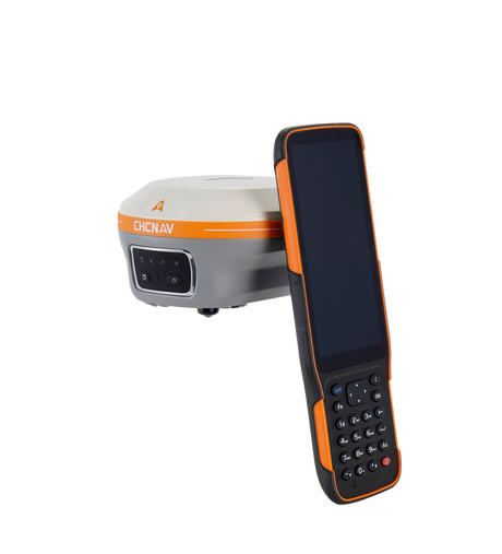
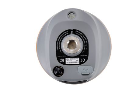
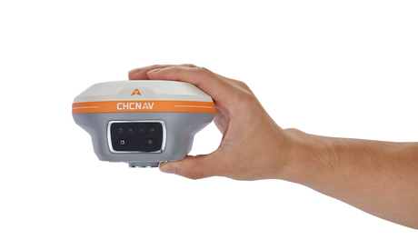
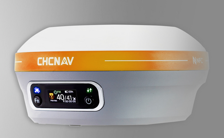
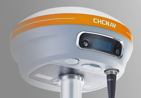
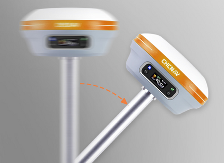
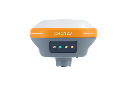
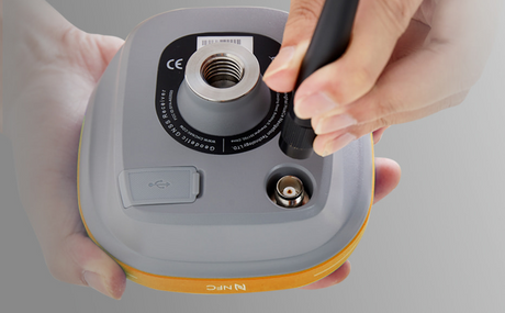
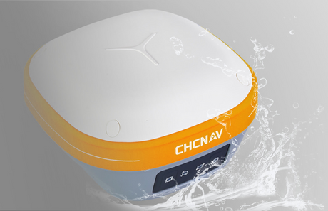
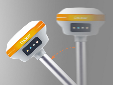
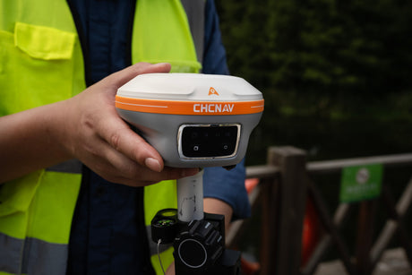
At LATNET Technologies, we’re committed to offering not only CHCNAV’s world-class equipment — including the i93, iBase, RS10, AU20, AA10, AA9, AA15, X500 UAV, Apache USVs, HQ400 Multibeam Echosounder and more — but also delivering the best support in Canada. We provide expert advice, in-person training, responsive after-sales service, and flexible rental or used equipment options tailored to surveyors, engineers, contractors, and agri-tech professionals.
Partner with LATNET to elevate your productivity and precision — backed by CHCNAV’s innovation and our commitment to your success.
🔎 Browse CHCNAV Products