

Want to See Real-World LiDAR Results?
CHCNAV
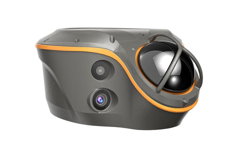
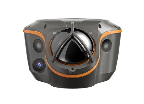
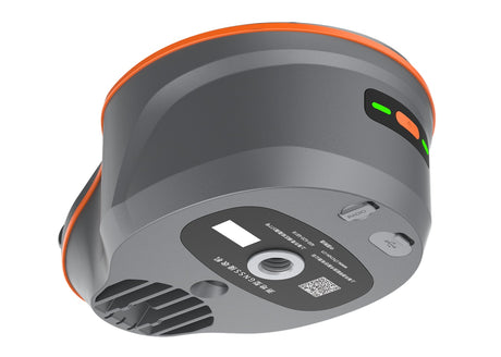
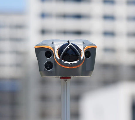
CHCNAV AU20 + AP7 Mobile Mapping LiDAR System with Ladybug Camera
Regular price $1.00Unit price-
-
CHCNAV
CHCNAV RS7 Handheld SLAM LiDAR system for indoor and underground 3D mapping
Regular price $13,900.00Unit price-
CHCNAV
CHCNAV RS10 Advanced SLAM LiDAR scanner for large-scale and industrial mapping projects
Regular price $24,900.00Unit price-
-
CHCNAV
CHCNAV AlphaAir 15 Airborne LiDAR System for UAV & Aerial Mapping
Regular price $1.00Unit price-
-
CHCNAV
CHCNAV AlphaAir 9 Lightweight UAV LiDAR system for high-density aerial topographic surveys
Regular price $39,500.00Unit price-
CHCNAV
Regular price $79,000.00Unit price-
-
CHCNAV
CHCNAV AlphaAir 450 UAV LiDAR System for Affordable Aerial Mapping
Regular price $1.00Unit price-
-
-
-




UAV, Mobile & SLAM LiDAR Systems for Mapping & Surveying
Discover advanced LiDAR systems in Canada from Latnet Technologies Ltd., featuring UAV LiDAR, mobile mapping LiDAR, and SLAM LiDAR scanners from CHCNAV and GeoCue. Our solutions are designed for high-precision 3D mapping, surveying, and geospatial data collection across a wide range of industries.
From AlphaAir UAV LiDAR systems for aerial mapping to vehicle-mounted mobile LiDAR systems like AlphaUni and AU20, and SLAM-based handheld scanners such as RS7, RS10, and TrueView GO, we provide complete LiDAR solutions for efficient and accurate data capture in any environment.
Process your data with our LiDAR processing and photogrammetry software.
Key Features of Our LiDAR Systems
✔ UAV LiDAR for Aerial Mapping
Capture high-density point clouds with AlphaAir UAV LiDAR systems, ideal for topographic surveys, corridor mapping, and forestry.
✔ Mobile Mapping LiDAR Systems
Deploy vehicle-mounted LiDAR systems like AlphaUni 20 and AU20 for rapid data collection in urban environments and infrastructure projects.
✔ SLAM LiDAR (Handheld & Backpack)
Scan complex or GNSS-denied environments using SLAM LiDAR systems such as RS7, RS10, and GeoCue TrueView GO for indoor, underground, and urban mapping.
✔ Survey-Grade Accuracy with GNSS/IMU Integration
Achieve precise positioning with integrated GNSS and IMU technology, ensuring reliable and accurate LiDAR data.
✔ Advanced LiDAR Processing Software
Process and analyze data efficiently using powerful LiDAR software for point cloud classification, modeling, and analysis.
Applications of LiDAR Mapping Systems
Our LiDAR solutions are widely used for:
- Topographic and land surveying
- Forestry and vegetation analysis
- Infrastructure and corridor mapping
- Construction and earthworks monitoring
- Urban planning and asset management
Why Choose Latnet for LiDAR in Canada?
Latnet Technologies Ltd. is a trusted provider of LiDAR systems in Canada, offering CHCNAV and GeoCue LiDAR scanners with expert support and training. From UAV LiDAR to mobile and SLAM systems, we deliver reliable, high-performance solutions for professional mapping projects.
