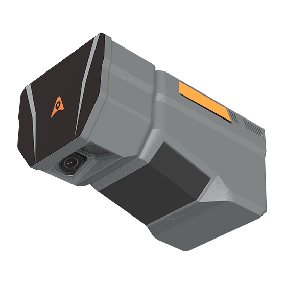

UAV LiDAR
CHCNAV AlphaAir 6D
Long-range UAV LiDAR with dual cameras
2MPoints / sec
2,100 mRange
1.85 kgWeight
LiDAR + photogrammetry over large areas

Book live Demo now.
Authorized CHCNAV dealer in Canada
CHCNAV AlphaAir drone LiDAR, AlphaUni mobile mapping systems and RS handheld SLAM scanners for survey-grade point clouds – sold, supported and trained from Calgary.
Where will you scan from?
What matters most?
Where will you walk?
Showing 17 of 17 · tick Compare on up to 3 products to see them side by side
UAV LiDAR
Long-range UAV LiDAR with dual cameras
LiDAR + photogrammetry over large areas
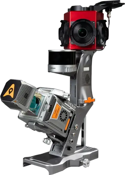
Mobile mapping system
Vehicle mobile mapping with 360° camera and SLAM
Roads, streets and asset inventory
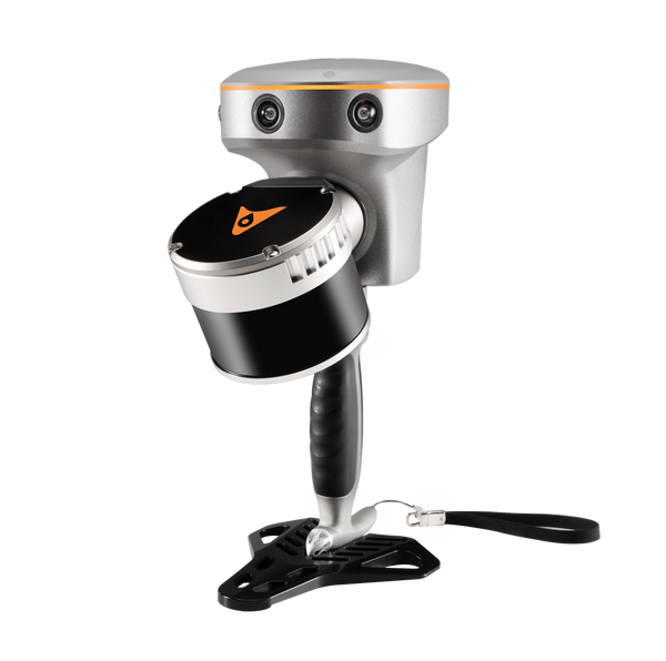
Handheld SLAM
GNSS + SLAM handheld scanner
Large sites, forests, tunnels and corridors
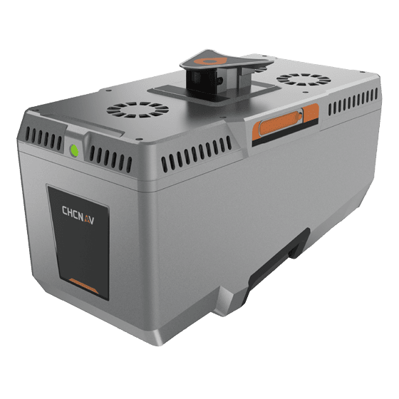
UAV / airborne LiDAR
Premium ultra-long-range airborne LiDAR
Large areas from manned aircraft or big UAVs
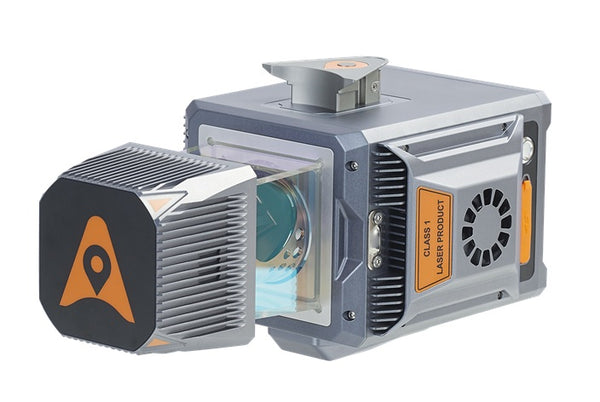
Multi-platform LiDAR
Multi-platform LiDAR: drone, car, boat, backpack
One sensor for air and ground projects
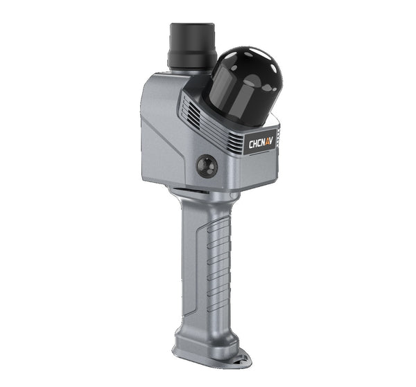
Handheld SLAM
Indoor and underground SLAM scanner
Buildings, mines and underground spaces
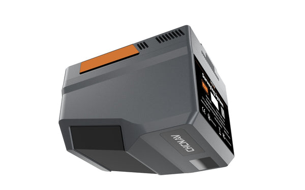
UAV LiDAR
Long-range compact UAV LiDAR
Forestry, corridors and large areas
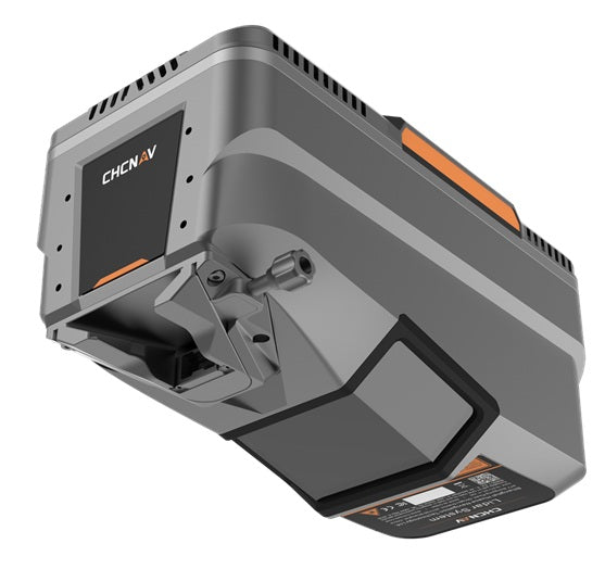
UAV / airborne LiDAR
Long-range airborne LiDAR
Corridors, cities and mountain mapping

Mobile mapping system
Dual-head vehicle mobile mapping
Highways, rail and high-density corridors
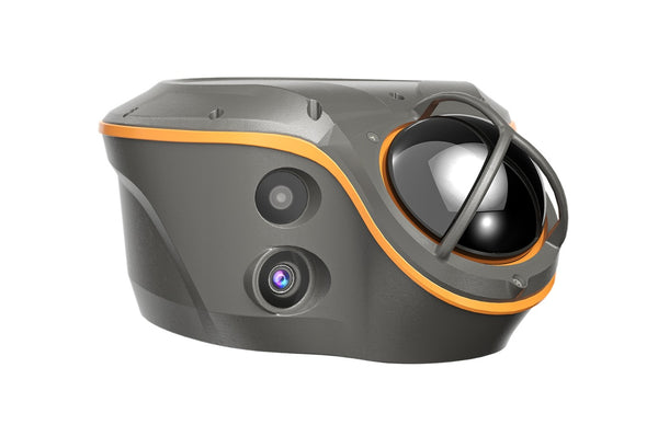
GNSS + LiDAR rover
Visual-LiDAR GNSS RTK receiver
Surveying near buildings and trees
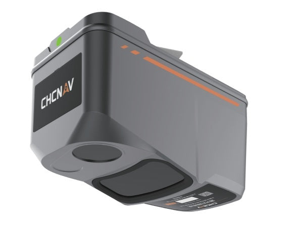
UAV LiDAR
Lightweight UAV LiDAR + RGB
Terrain under vegetation and 3D meshes
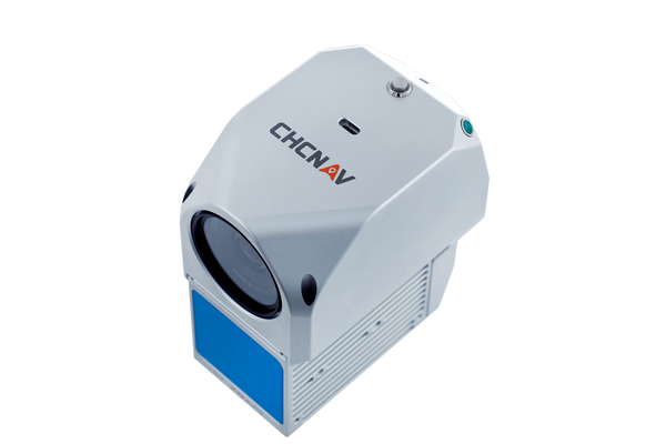
UAV LiDAR
Affordable all-in-one UAV LiDAR
Entry-level drone LiDAR mapping
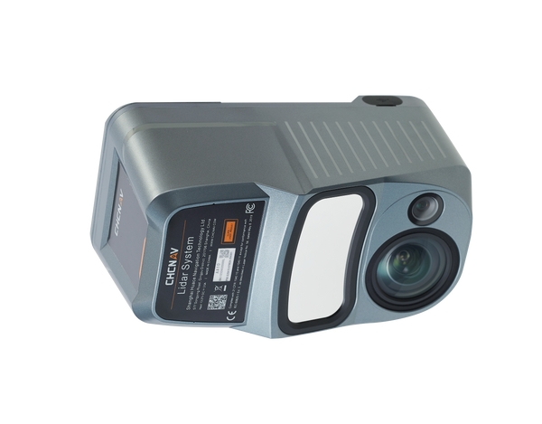
UAV LiDAR
Professional corridor UAV LiDAR
Powerlines, corridors and high-altitude flights
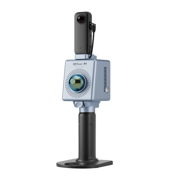
Handheld SLAM
Compact handheld SLAM scanner
Quick building and site scans
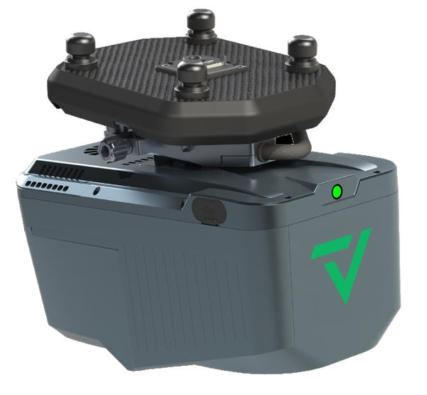
GeoCue
GeoCue TrueView 540 – New Standard for Accuracy and Quality Product Overview The ...
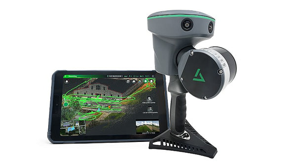
GeoCue
GeoCue TrueView GO 116S – Advanced Handheld SLAM Solution for High-Definition Reality ...
GeoCue
GeoCue TrueView GO 132S – Superior Handheld SLAM Solution with Enhanced Point Density ...
Nothing matches all selected features.
LiDAR platforms explained
Each platform suits a different site and deliverable. Most projects are processed in CHCNAV CoPre and CoProcess.
Mount an AlphaAir payload on a survey drone to map large areas fast – including bare earth under vegetation. Pair it with the CHCNAV X500 or a DJI M300/M350.
Mount an AlphaUni system on a vehicle to capture roads, rail, utilities and city streets at driving speed, with 360° imagery for asset inventory.
SLAM scanners map as you walk – no tripods or targets. Use GNSS-enabled models outdoors for real-world coordinates, and indoor models for buildings, mines and tunnels.
LATNET Technologies Ltd. supplies CHCNAV UAV LiDAR, mobile mapping and handheld SLAM systems across Canada, with setup, training and support from our Calgary team. Capture survey-grade point clouds for topography, forestry, corridors, mining, construction and asset management.
Complete your workflow with a survey drone, LiDAR processing software such as CoPre, CoProcess and TerraSolid, or try a system first with a rental.
Want to See Real-World LiDAR Results?


