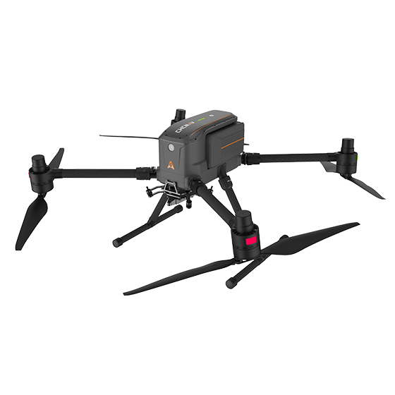

Multirotor drone
CHCNAV X500
Professional multirotor survey drone
58 minFlight time
5 kgPayload
±1 cmRTK accuracy
LiDAR, mapping and inspection in one drone

Book live Demo now.
Authorized CHCNAV dealer in Canada
CHCNAV multirotor and VTOL survey drones that carry LiDAR and mapping cameras – with RTK positioning, long flight times and support from Calgary.
What will you fly?
Showing 2 of 2 · tick Compare on up to 3 products to see them side by side
Multirotor drone
Professional multirotor survey drone
LiDAR, mapping and inspection in one drone
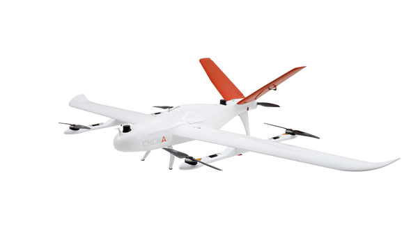
VTOL fixed-wing drone
Long-endurance VTOL mapping drone
Large areas and long corridors
Nothing matches all selected features.
Build your drone system
A survey drone is only as good as its payload. Pick the sensor for your deliverable, then process the data in office software.
AlphaAir LiDAR payloads capture ground under vegetation, powerlines and structures. The X500 flies about 45–50 minutes with the AlphaAir 10.
Full-frame nadir cameras produce orthophotos and surface models; the five-lens C30 captures oblique images for 3D city models.
Process LiDAR in CoPre and CoProcess, and imagery in CoMeta or Agisoft Metashape. Free trials and downloads are available.
LATNET Technologies Ltd. supplies CHCNAV survey drones across Canada – the X500 multirotor for LiDAR, mapping and inspection, and the P330 Pro VTOL for long corridors and large areas – with RTK positioning and payload integration.
Equip your drone with LiDAR or mapping cameras, and process the data with survey software. We help with setup, flight planning and training.
